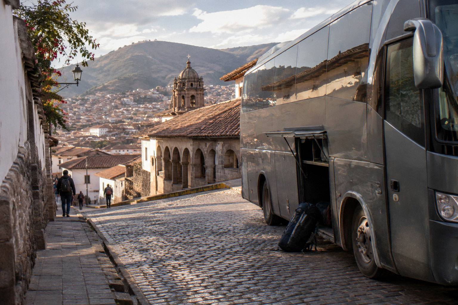
Peru Bus Routes: Every Major Line Across The Country
Peru's interprovincial bus network is organised around a handful of long corridors that leave Lima and a set of regional lines that stitch the cities together. This guide maps each route family, names the operators whose own pages confirm service, and gives free-flow drive estimates so a trip can be planned with real distances in mind.
Short answer
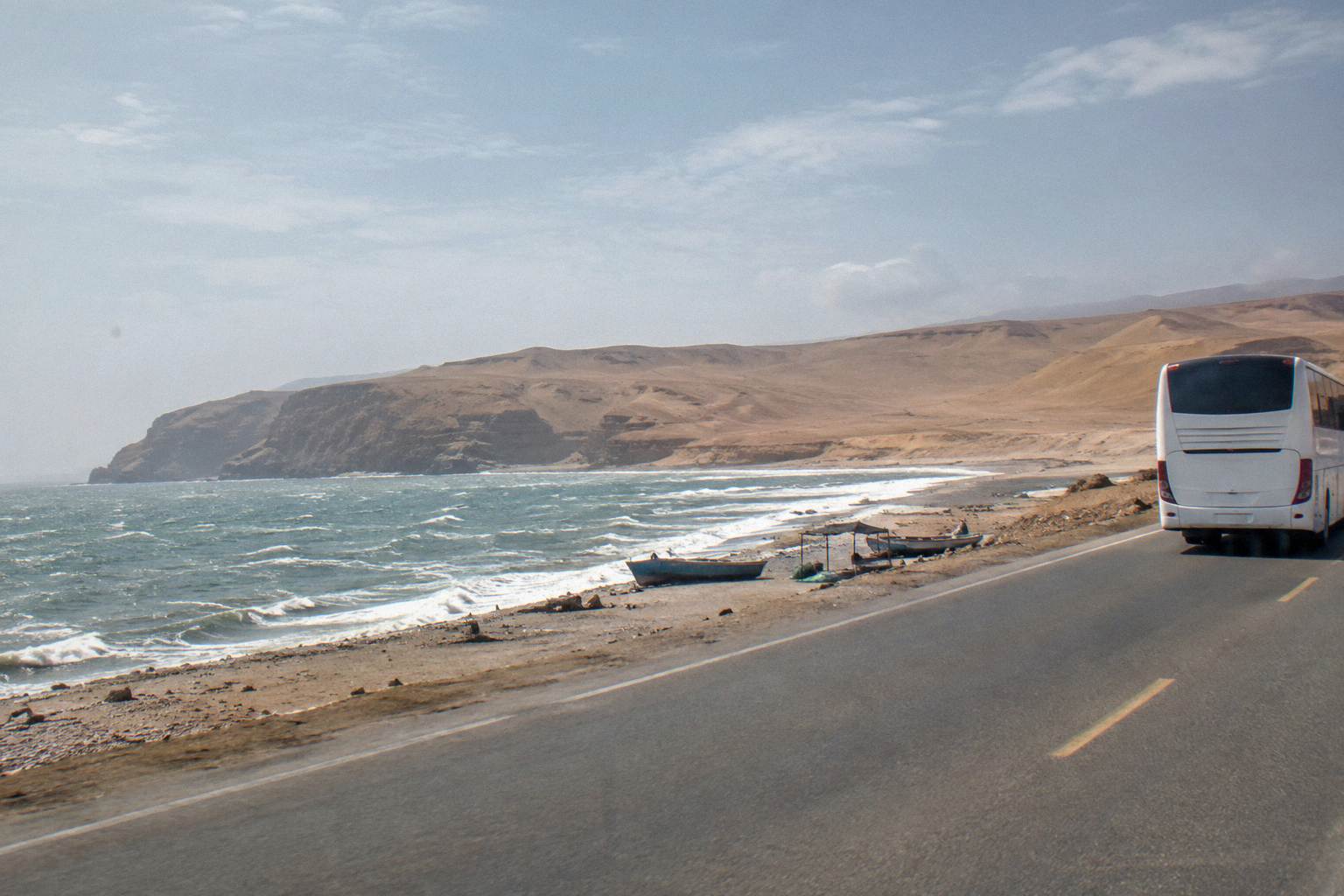
Peru's bus network runs along a southern corridor (Lima, Paracas, Huacachina, Nazca, Arequipa, Puno, Cusco), northern coast lines (Lima, Trujillo, Chiclayo, Mancora, Tumbes), highland routes to Huaraz, Huancayo and Ayacucho, and jungle lines to Tarapoto and Puerto Maldonado. Lima-Arequipa is about 1,002 km, a free-flow drive estimate of about 14.3 hours that real bus journeys exceed.
Peru's bus network is not one system but several: a southern corridor that carries the country's heaviest tourist traffic from Lima down the coast and up into the Andes, a northern network that strings together Trujillo, Chiclayo and the Ecuador border, highland lines that climb out of the coast into Huaraz, Huancayo and Ayacucho, and a set of long eastern routes that reach the jungle cities. Each family has its own operators, its own road conditions and its own rhythm. Mapping the routes before booking a single ticket is the difference between a trip that flows and one that loses two days to a badly chosen connection.
The distances are the first thing to understand. Peru is big, and the roads cross mountain ranges: a line that looks short on a map can take a full day of driving. Throughout this guide, driving figures are OSRM free-flow drive estimates, the time a car would need with no traffic, no stops and no mountain grading penalties. Real bus journeys exceed these figures, sometimes by a wide margin. They are planning aids, never timetable promises.
What Are The Main Bus Route Families In Peru?
Peru's long-distance buses cluster into five route families: the southern corridor from Lima through Paracas, Huacachina, Nazca, Arequipa, Puno and Cusco; the northern coast line through Trujillo, Chiclayo, Piura, Mancora and Tumbes; central highland routes to Huaraz, Huancayo and Ayacucho; eastern jungle lines to Tarapoto and Puerto Maldonado; and cross-border extensions to La Paz, Arica and Ecuador. Different companies dominate each family, so an operator strong in one region may not run in another.
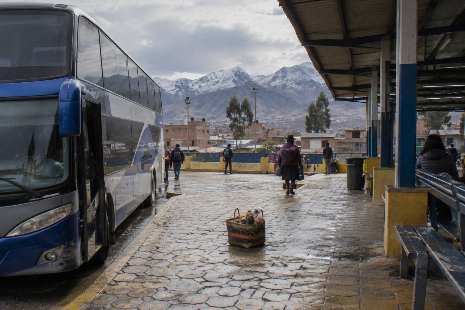
The regional split matters more in Peru than in most countries because the operators genuinely specialise. Movil Bus concentrates its network on Lima to Huaraz, Chiclayo, Trujillo, Chachapoyas, Cajamarca, Tarapoto and Oxapampa, and its own pages show no service to Cusco or Arequipa. Linea runs a northern network only: Lima, Chimbote, Trujillo, Pacasmayo, Chiclayo, Piura, Huaraz, Cajamarca, Chepen and Jaen. Cruz del Sur and Oltursa publish the long southern corridors, including the Lima to Arequipa and Lima to Cusco lines. A traveller who assumes one company covers the country will hit a wall somewhere around Arequipa or Chiclayo.
The table below groups the route families with the operators whose own pages confirm service on them. It is built from operator route lists, not from a count of every company on the road, and no fare column appears because operator tariffs are variable and Oltursa itself labels its prices as reference figures that change by season.
| Route family | Main cities on the line | Operators whose pages confirm service |
|---|---|---|
| Southern corridor | Lima, Paracas, Huacachina, Nazca, Arequipa, Puno, Cusco | Cruz del Sur, Oltursa |
| Northern coast | Lima, Trujillo, Chiclayo, Piura, Mancora, Tumbes | Linea, Cruz del Sur, Oltursa |
| Northern highlands | Trujillo to Cajamarca, Chiclayo to Chachapoyas | Movil Bus, Linea |
| Central highlands | Lima to Huaraz, Lima to Huancayo, Lima to Ayacucho | Movil Bus, Cruz del Sur |
| Jungle routes | Lima to Tarapoto, Cusco to Puerto Maldonado | Movil Bus (Tarapoto leg) |
| Border extensions | Puno to La Paz, Tacna to Arica, Tumbes to Ecuador | Operator coverage varies |
For trip planning at the level of whole circuits, the southern Peru bus circuit guide breaks the Lima to Cusco chain into stop-by-stop legs, and the itinerary guides for one week, ten days, two weeks and three weeks build complete trips on these route families. The free-flow drive estimates that follow give the physical scale of each line.
Which Bus Routes Run The Southern Corridor From Lima To Cusco?
The southern corridor links Lima to Cusco through Paracas, Ica, Nazca, Arequipa and Puno, with legs of roughly 251 km to Paracas, 297 km to Ica, 142 km to Nazca, 566 km to Arequipa, 273 km to Puno and 387 km to Cusco. Every distance pairs with an OSRM free-flow estimate, such as about 14.3 hours for the 1,002 km Lima to Arequipa stretch, and real bus journeys take longer.
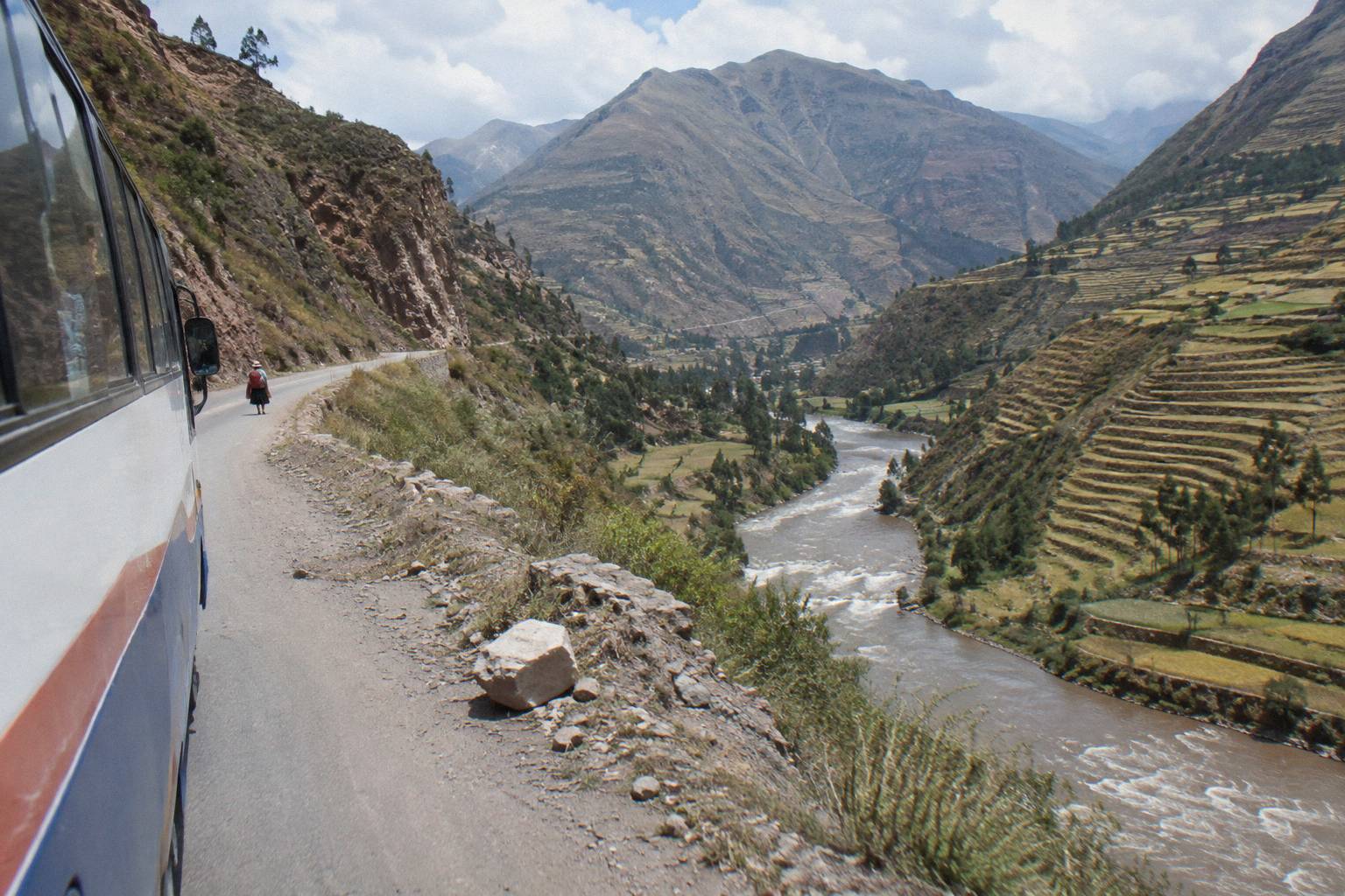
This is the spine of Peruvian bus travel. The coastal legs from Lima to Paracas and Ica run on the Pan-American Highway through flat desert, and the free-flow estimates are a reasonable guide to scale even though buses stop, slow for towns and queue at terminals. From Nazca south the road climbs, and the Nazca to Arequipa leg crosses serious altitude before dropping into the city at about 2,429 m. The Arequipa to Puno leg continues climbing toward Lake Titicaca at about 3,812 m, and the Puno to Cusco leg crosses the Abra La Raya pass at about 4,300 m before descending to Cusco at about 3,400 m.
A popular way to ride part of this corridor is a tourist bus rather than a regular service. The Turismo Mer Puno to Cusco bus with a lunch stop covers the Titicaca end of the corridor in a listing that gives 11 hours, rated 4.6 across 24 reviews, with free cancellation up to 24 hours before departure as listed. Check availability if that leg is on the route plan. At the Lima end, the Wayki Bus Miraflores to Paracas one-way bus runs from Miraflores and Barranco to El Chaco in Paracas, a listing that gives 3 hours, rated 4.2 across 62 reviews, also with the 24-hour free-cancellation term as listed.
The regular-service operators on this corridor publish detailed on-board standards. Cruz del Sur lists a pilot change every 4 hours, a permanent medical check and alcohol test, DNI control with a metal detector, GPS satellite monitoring, 180 degree reclining seats on its main service and a Suite seat at 160 degrees on the Lima to Cusco line, with 20 kg of hold luggage plus 6 kg of hand luggage allowed, all stated on its own comfort page. Oltursa runs economico and bus cama VIP classes on the same corridors, with 20 kg of hold luggage and one hand piece up to 5 kg, GPS monitoring around the clock, and tariffs the operator itself describes as reference figures.
Altitude is the planning variable on the southern corridor that first-time visitors underweight. Arequipa sits at about 2,429 m, Puno at about 3,848 m, and Cusco at about 3,400 m. A traveller who rides the corridor from the coast upward acclimatises progressively; one who flies straight to Puno does not. The altitude and acclimatisation by bus guide covers this in detail, including how the corridor's staged climbs compare with flying.
Which Operators Serve The North Coast And Northern Highlands?
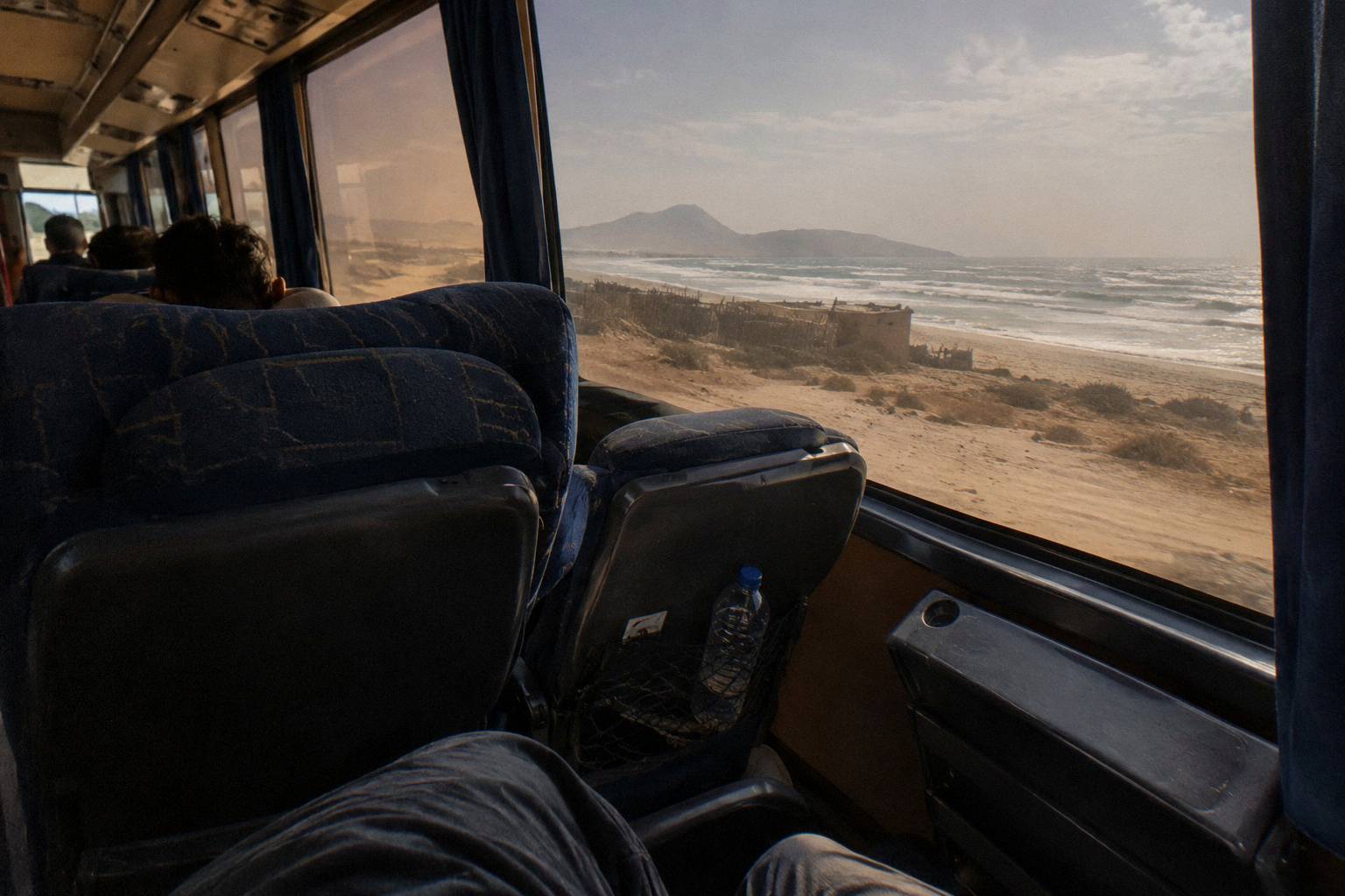
Linea and Movil Bus are the northern specialists serving this network, linking Lima to Trujillo, Trujillo to Chiclayo, Chiclayo to Mancora, and Mancora to Tumbes along the Pan-American Highway, while also covering the highland branches from Trujillo to Cajamarca and Chiclayo to Chachapoyas, which together connect the coast with the northern highlands.
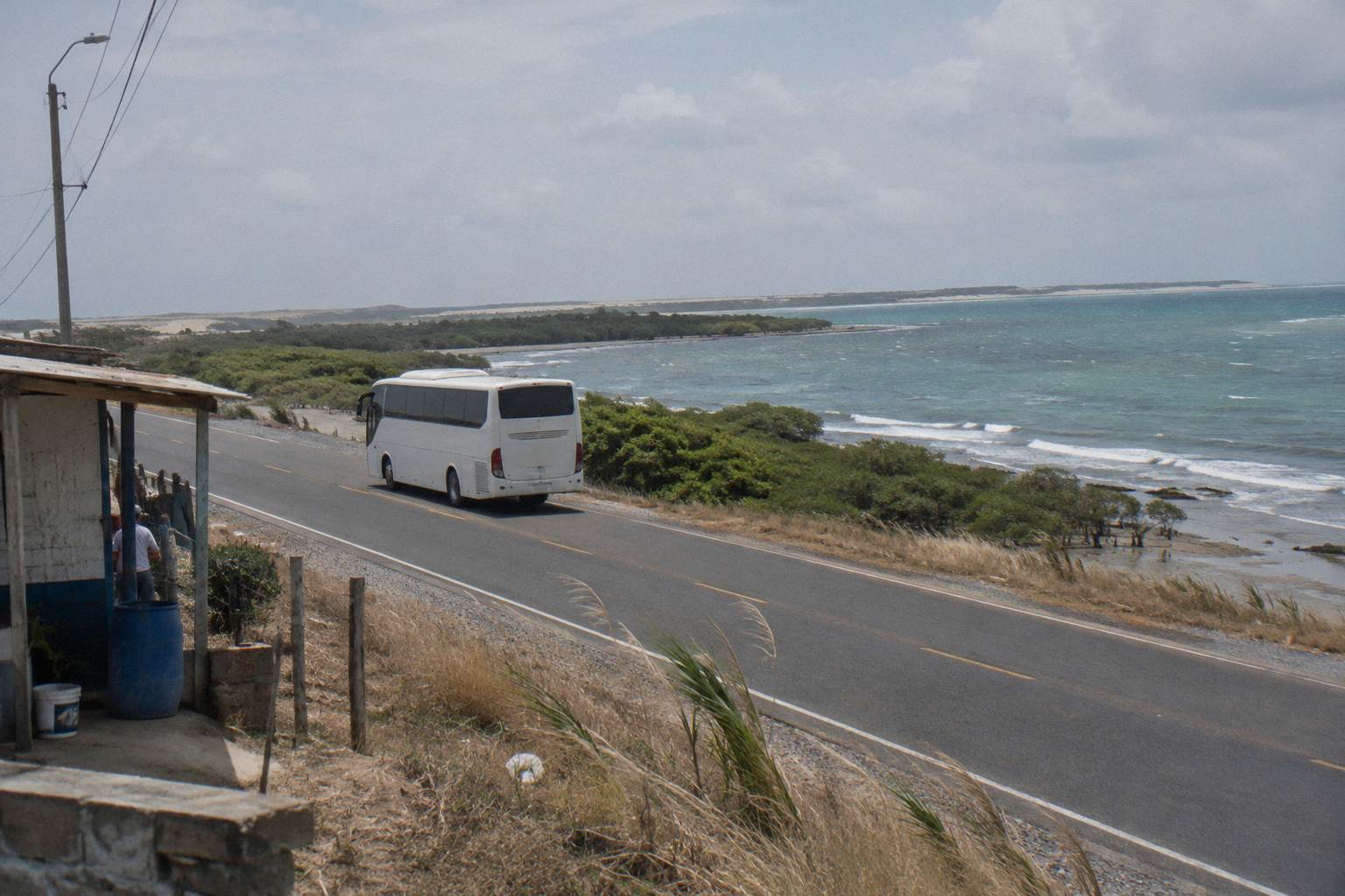
The north coast is the country's other great bus corridor, and it is the one where the specialist operators matter most. Linea's service ladder, as its own pages state it, runs Super VIP seats at 180 degrees, VIP at 160, Dorado at 160 and Especial at 145, with 20 kg of luggage included. Movil Bus lists Economico seats at 120 degrees, Ejecutivo VIP at 140 and 160, Presidencial at 160, and Premier at 160 on the first level with a 180 degree full flat on the second level, plus GPS and speed control, with 20 kg of hold luggage in up to 3 pieces and 8 kg of hand luggage in up to 2 pieces. Both operators publish these figures on their own service pages, and both are northern companies: Linea's network list names no city south of Jaen, and Movil Bus's route list, which includes Huaraz, Chiclayo, Trujillo, Chachapoyas, Cajamarca, Tarapoto and Oxapampa, names neither Cusco nor Arequipa.
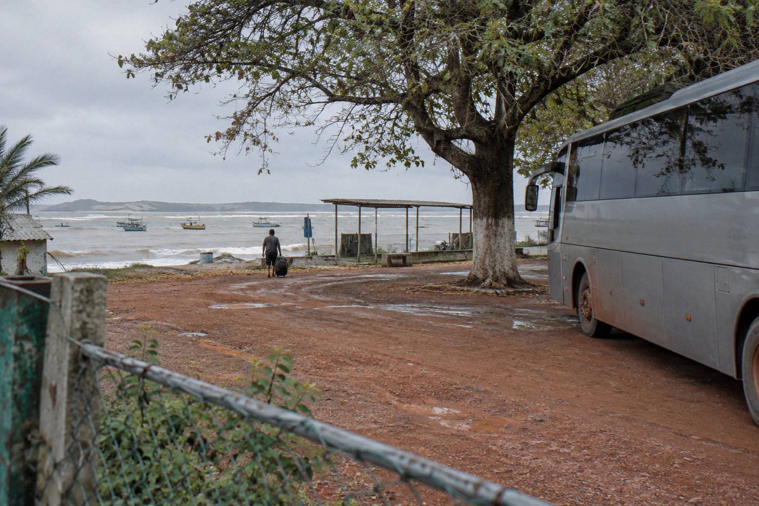
The highland branches are where the north gets slow. Trujillo to Cajamarca leaves the coast and climbs to a city at about 2,731 m; Chiclayo to Chachapoyas crosses into Amazonas department and finishes at about 2,338 m. The free-flow estimates give the scale, and the dedicated guides, how to get to Chachapoyas by bus and the north coast Trujillo, Chiclayo and Mancora route guide, cover the legs, the terminals and the connection logic in depth. For the Lima to Trujillo trunk itself, Check availability on a seat search for this route.
The far north ends at the border. Mancora sits near sea level, Tumbes likewise, and the Aguas Verdes-Huaquillas CEBAF crossing into Ecuador is the main post on this end of the country, staffed around the clock per Peru's Migraciones notices. The Peru to Ecuador border guide covers the crossing itself; on routing, the coastal highway carries buses the whole way, and no operator from the southern corridor publishes service here.
How Long Does Each Long-Distance Route Take To Drive?
These nine trunk routes take anywhere from about 4.1 hours (Trujillo to Cajamarca, 290 km) to roughly 14.3 hours (Lima to Arequipa, 1,002 km) under OSRM free-flow estimates. The other long hauls fall between about 5.5 and 12.2 hours, and scheduled buses exceed every one of these free-flow times.
The table gathers the figures in one place. The column header states free-flow drive estimate because that label is the whole point: these are router outputs for an unimpeded car, and a bus adds terminal handling, passenger stops, mountain climbs, speed limits and night-driving rules on top. Peru's national transit regulation caps continuous driving at 5 hours by day and 4 at night, with a second driver required beyond that and a third on trips over 20 hours, so very long lines are broken by crew changes and rest stops that the free-flow figure does not contain.
| Route pair | Distance (km) | Free-flow drive estimate |
|---|---|---|
| Lima to Arequipa | 1,002 | 14.3 h |
| Lima to Trujillo | 557 | 9.1 h |
| Lima to Ayacucho | 569 | 9.3 h |
| Lima to Huaraz | 402 | 5.5 h |
| Lima to Huancayo | 301 | 6.2 h |
| Arequipa to Tacna | 402 | 6.0 h |
| Cusco to Puerto Maldonado | 669 | 12.2 h |
| Trujillo to Cajamarca | 290 | 4.1 h |
| Chiclayo to Chachapoyas | 450 | 7.0 h |
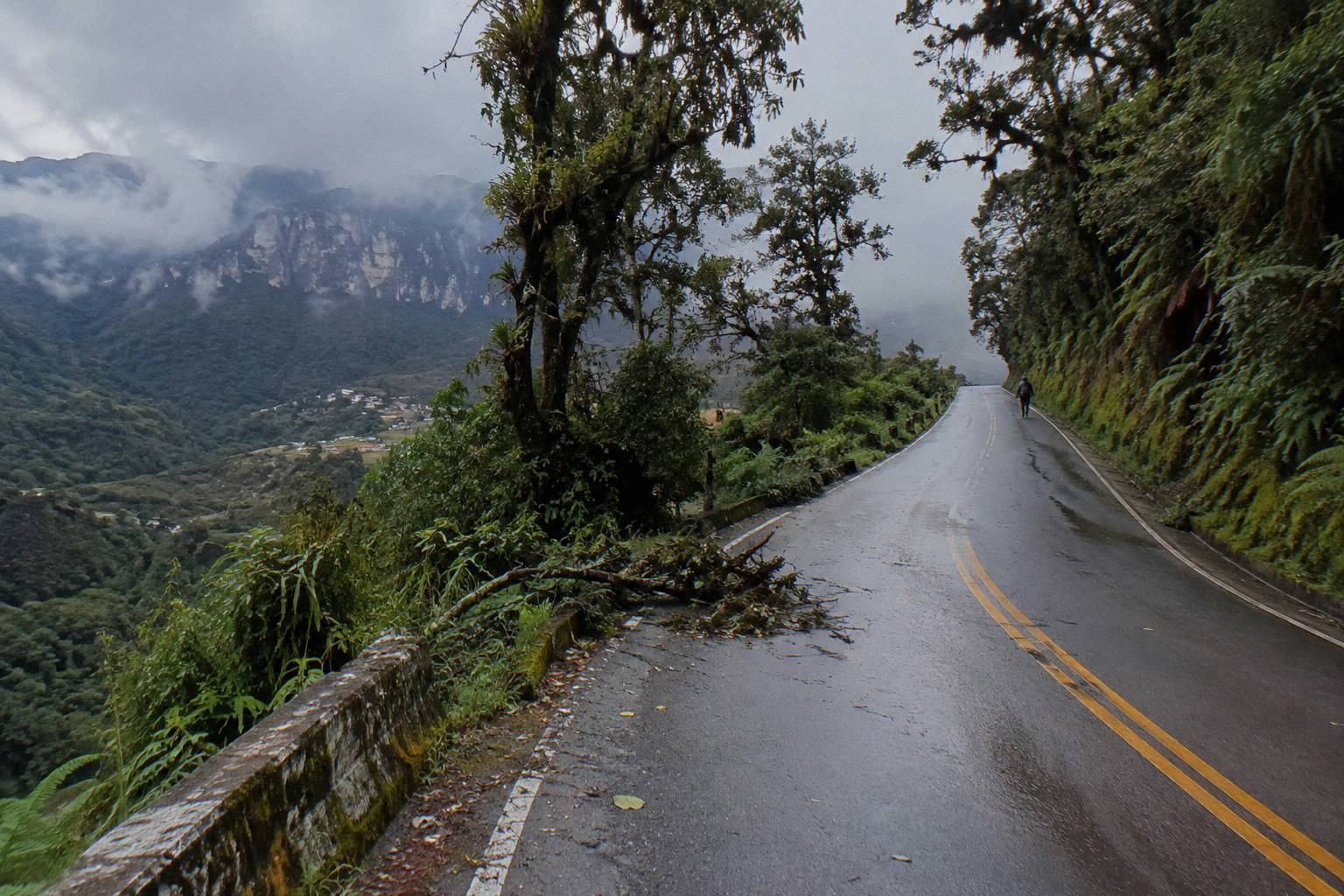
Two of these lines deserve special comment. Cusco to Lima is not in the table because the OSRM figure, about 1,103 km and 17.8 hours, assumes a routing through Abancay and Nazca that is a modelling assumption rather than a confirmed bus path; timetabled trips on the Cusco to Lima axis run 20 hours or more. The Lima to Huaraz line crosses the Conococha pass at about 4,087 m before dropping to Huaraz at about 3,073 m, and the Lima to Huaraz national route guide covers its operators and its altitude profile leg by leg.
Government advice bears directly on how to read these numbers, because several of the advisories warn against riding at all after dark. Canada's advisory for Peru states: "Avoid taking buses and coaches at night", and the UK FCDO states: "Bus crashes are common, especially at night. Only use reputable transport companies, and where possible, avoid overnight travel, especially in mountainous and remote regions", on its safety and security page. A 9-hour free-flow estimate that would finish in daylight from a morning start becomes an overnight commitment from an evening one, and that framing, not the raw hours, is what should drive a booking decision. The overnight bus in Peru guide works through the trade-off in full.
Which Buses Run The Highland Routes To Huaraz, Huancayo And Ayacucho?
Movil Bus and Cruz del Sur are the operators to look for: Movil Bus publishes Huaraz service, while Cruz del Sur lists Huaraz, Huancayo-region and Ayacucho points in its own terminal directory. The routes run about 402 km to Huaraz (roughly 5.5 hours free-flow), about 301 km to Huancayo (roughly 6.2 hours) and about 569 km to Ayacucho (roughly 9.3 hours).
These three routes are the climbs. Each leaves the coast near sea level and finishes between about 2,797 m (Ayacucho) and about 3,294 m (Huancayo), with Huaraz at about 3,073 m between them. The Lima to Huancayo line is the famous one for altitude: the road crosses Anticona, the pass above La Oroya, and INEI's statistical compendium places it above 4,700 m. The free-flow estimate of 6.2 hours compresses a line whose real journey is much longer, with the climb, the passes and the crew and rest requirements on top. The wider set of guides lives on Peru By Bus.
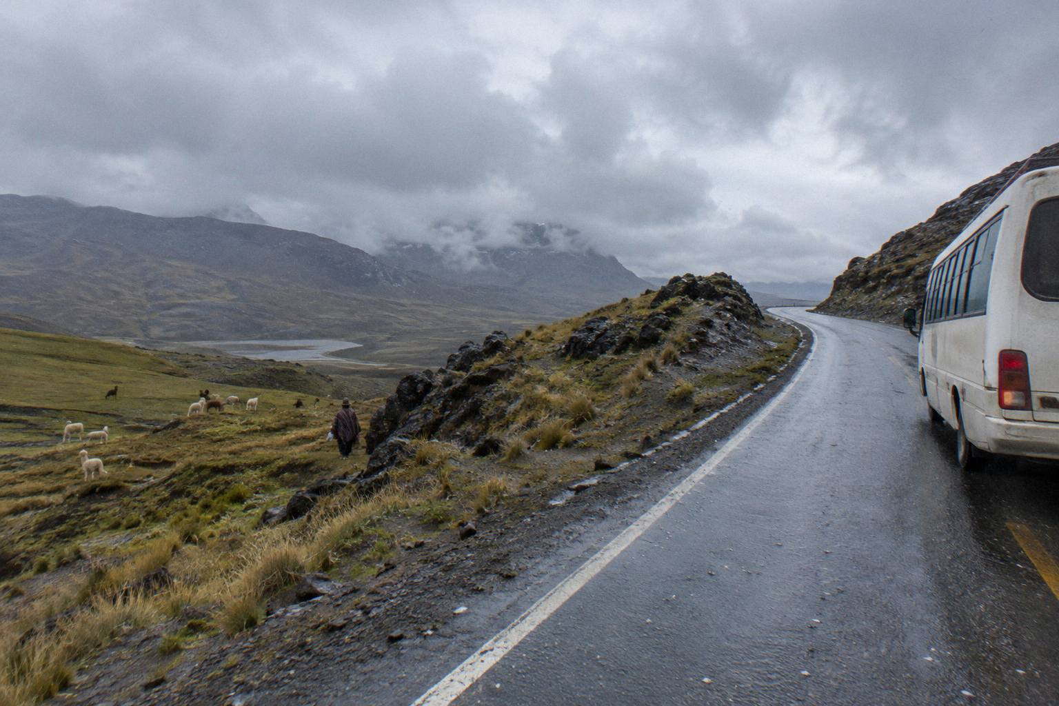
For the Huaraz line there is a bookable tourist option: the First Class Huaraz bus from Lima and Lima airport to Huaraz, from US$50 per person on the operator's listing, with hotel pickup arranged by sending the operator the hotel address after booking, and with passport numbers and full names needed to print the tickets. Its listing gives about 9 hours for the journey and states non-refundable, unchangeable terms, which makes it the one ticket where cancellation terms differ from the rest; reviews are on the listing. For a seat search on the same route across regular carriers, Check availability.
Huancayo and Ayacucho have their own dedicated guides, the Lima to Huancayo bus guide and the Lima to Ayacucho bus guide, and Ayacucho continues east to Cusco on a line covered in the Ayacucho to Cusco guide, a slow interior link that exists but carries far less service than the corridors. Peru Hop does not serve any of these central highland cities, which matters for anyone mapping a hop-on hop-off pass against this region.
Which Routes Reach The Jungle And The Machu Picchu Back Door?
Two eastern services cover the jungle side: Cusco to Puerto Maldonado, about 669 km with free-flow driving near 12.2 hours, and Lima toward Tarapoto on Movil Bus's northern jungle network. The Machu Picchu back door is the Cusco to Hidroelectrica line, about 212 km and roughly 5.1 hours free-flow, where a walk or rail leg continues to Machu Picchu Pueblo, since no bus reaches the site itself.
The jungle routes are the least documented family on any operator's page, and the free-flow estimates do more work here than anywhere else: they establish scale where schedules are sparse. Cusco to Puerto Maldonado drops from about 3,400 m into Amazonian lowland at about 204 m, a 12.2-hour free-flow estimate that a real journey will exceed substantially on a road that deteriorates in the rainy season, which runs roughly September to April in the Andean zone. The Cusco to Puerto Maldonado bus guide and the Lima to Tarapoto guide cover both lines; Movil Bus is the operator whose own route list names Tarapoto.
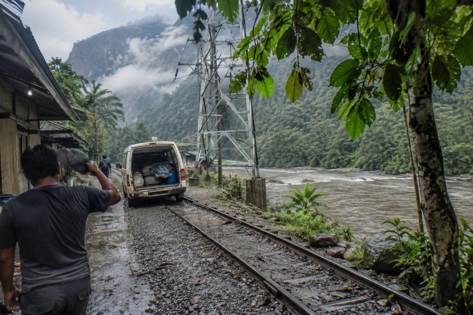
The back door to Machu Picchu is a bus line with a specific end point. Buses run Cusco to Hidroelectrica, the hydroelectric station used as a start for the walk or rail leg to Machu Picchu, and the Cusco to Machu Picchu by bus via Hidroelectrica guide covers the whole chain: the 212 km line with its 5.1-hour free-flow estimate, the drop to the station, and the final leg on foot or by rail. A tourist bus product on this line, the Machu Picchu by Car Vip service from Cusco's Plaza de Armas to a private terminal at Hidroelectrica, is rated 4.3 across 53 reviews with a listing duration of 6 hours and two rest stops.
Government advice matters on the eastern and back-door lines in a specific way: the US Embassy's republication of the State Department advisory notes that "Criminal groups sometimes set up roadblocks to rob people in areas outside of Lima", on its Peru advisory page. Remote road sections, including eastern lines, are the context for that warning, and the FCDO's instruction "Do not attempt to pass blockades" applies if a strike or blockade appears mid-route. The what to do at a roadblock guide covers the practical response.
Which Routes Cross A Border By Bus?
Four bus routes cross a border from Peru: Puno to Copacabana at about 142 km (about 2.5 hours of free-flow driving, border wait excluded), Puno to La Paz at about 260 km (about 4.5 hours, border excluded), Tacna to Arica at about 57 km (about 0.9 hours, border excluded), and the Tumbes crossing into Ecuador at the far north.
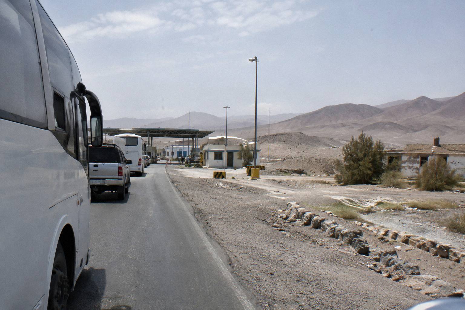
Border lines look short and are not, because the free-flow estimates exclude the border itself. The Tacna to Arica hop is 57 km and 0.9 hours of free-flow driving, but the crossing adds immigration on both sides, and the Chilean side's status is published on the official Chilean border posts page, which lists the Chacalluta complex status. The Bolivia crossings at Kasani (for Copacabana) and Desaguadero (for La Paz) involve Peruvian and Bolivian formalities plus, on the Copacabana line, the lake crossing itself; the dedicated guides, Puno to Copacabana by bus, Bolivia Hop from Peru and Tacna to Arica by bus, cover each post in detail.
| Border line | Free-flow drive estimate | Border post | Border wait |
|---|---|---|---|
| Puno to Copacabana | 142 km, 2.5 h | Kasani (Yunguyo) | Excluded from estimate |
| Puno to La Paz | 260 km, 4.5 h | Desaguadero or Kasani route | Excluded from estimate |
| Tacna to Arica | 57 km, 0.9 h | Santa Rosa / Chacalluta | Excluded from estimate |
| Tumbes to Ecuador | Final leg of north coast line | Aguas Verdes-Huaquillas CEBAF | Excluded from estimate |
The Tam, the Andean migration card, is part of the border routine: Migraciones describes it as a migration-control document of obligatory use for entering and leaving the CAN countries, on its official Tam page. Visa rules for Bolivia vary by nationality and Bolivia's own exemption notices are being implemented gradually, so check the Bolivian consulate for your passport rather than relying on second-hand lists.
How Do You Check A Route Before You Travel?
Before you travel, check the SUTRAN alert map at alertasviales.sutran.gob.pe, where closed roads show in red, restricted roads in yellow and open roads in green, then confirm your departure point on the carrier's own terminal page. SUTRAN also lets you verify any bus and driver by plate number or driver DNI, and its map shows strikes and blockades as live points.
Route conditions in Peru change, and the official tools are good enough to use. SUTRAN's alert map is the single best pre-travel check: it marks closures, restrictions and openings by cause, including the human-factor blockades that strikes produce, and SUTRAN runs a 24-hour WhatsApp line on 999 382 606 for road-status queries. The alert map and the bus and driver lookup are the two official pages worth bookmarking for any long route in this guide.
The booking side has its own checks. Tickets for tourist buses carry free cancellation up to 24 hours before departure as their listings state, with the Huaraz ticket the exception on non-refundable terms, and INDECOPI's postponement right applies to domestic tickets as a backstop. The how to book Peru bus tickets guide covers the mechanics, and the bus delays, strikes and rainy season guide covers what to do when a route closes anyway.
Common Questions About Peru Bus Routes
What Are The Main Peru Bus Routes?
The southern corridor from Lima through Paracas, Huacachina, Nazca, Arequipa, Puno and Cusco; the northern coast line through Trujillo, Chiclayo, Piura, Mancora and Tumbes; central highland routes to Huaraz, Huancayo and Ayacucho; and eastern jungle routes to Tarapoto and Puerto Maldonado, plus border extensions to La Paz, Arica and Ecuador.
How Long Is The Bus From Lima To Arequipa?
The Lima to Arequipa line is about 1,002 km, an OSRM free-flow drive estimate of about 14.3 hours. A real bus journey exceeds that figure because of terminal handling, stops and crew requirements, so treat it as a scale indicator rather than a schedule.
Which Bus Companies Run Northern Peru?
Linea and Movil Bus are the northern specialists. Linea's network runs from Lima to Jaen along the coast and highlands; Movil Bus lists Lima to Huaraz, Chiclayo, Trujillo, Chachapoyas, Cajamarca, Tarapoto and Oxapampa. Neither operator's pages show Cusco or Arequipa service.
Can You Take A Bus From Lima To Huancayo?
Yes, the Lima to Huancayo line runs about 301 km with a free-flow drive estimate of about 6.2 hours. The road crosses the Anticona pass, which INEI places above 4,700 m, before finishing at Huancayo at about 3,294 m.
Do Any Peru Bus Routes Cross The Border?
Yes. Puno to Copacabana (about 142 km free-flow) and Puno to La Paz (about 260 km) cross into Bolivia, Tacna to Arica (about 57 km) crosses into Chile at the 24-hour Santa Rosa post, and the Tumbes area carries the main Ecuador crossing at Aguas Verdes-Huaquillas. All border waits sit outside the drive estimates.
How Do I Check If A Peru Bus Route Is Open?
Check the SUTRAN alert map, which shows closed roads in red, restricted roads in yellow and open roads in green, and look for the human-factor points that blockades produce. SUTRAN also runs a 24-hour WhatsApp line on 999 382 606 for road-status queries.