
How To Get To Chachapoyas By Bus: Chiclayo, Cajamarca And Tarapoto Routes
Chachapoyas sits in Peru's northern cloud forest, and every bus that reaches it climbs out of a coast or highland valley on a long mountain road. Here is how the routes, operators and tickets work.
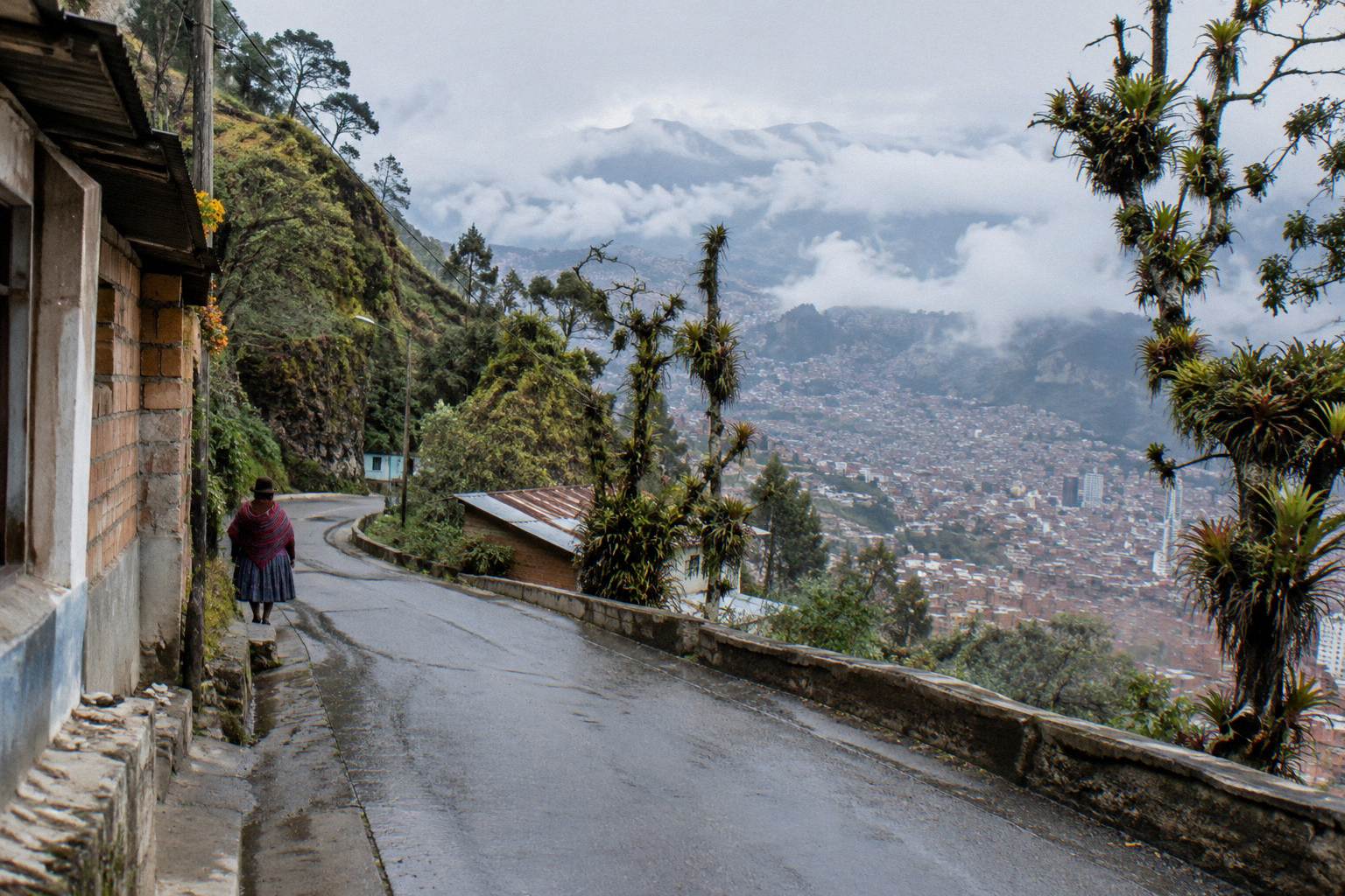
Short answer
Chachapoyas is reached by bus from Chiclayo, a free-flow drive estimate of about 450 km and 7.0 hours that real mountain journeys exceed. Cajamarca is a second approach, about 290 km and 4.1 hours free-flow from Trujillo, from where connections continue. Movil Bus lists Chachapoyas among its routes. The town sits at 2,338 m.
Chachapoyas, the base town for the Kuelap fortress and the Gocta waterfall, is one of the hardest-to-reach destinations on Peru's tourist map, and that difficulty shapes every planning decision. The town sits at 2,338 m above sea level, INEI's figure for the provincial capital, in a cloud-forest region where roads fold back on themselves and every kilometre of flat ground is earned. There is no rail line and no nearby airport with scheduled service, so the bus is not one option among several, it is the way in. This guide lays out the approaches from the coast and the highlands, the operators whose own pages name the route, and the ticket and terminal mechanics once the route is chosen.
What Are The Bus Routes To Chachapoyas?
Chachapoyas is reached by bus along three realistic approaches: from Chiclayo on the north coast over about 450 km of mountain road, a free-flow drive estimate of 7.0 hours that real bus journeys exceed; from Cajamarca in the northern highlands, itself about 290 km and 4.1 hours free-flow from Trujillo; and from Tarapoto, a route Movil Bus lists without figures. Every approach ends on the same winding descent into the Utcubamba valley.
The practical starting point for most itineraries is the coast. Chiclayo, at just 28 m elevation, is the lowest and warmest of the gateways, and the road from there climbs steadily through the Abra Porculla, the lowest pass across the Peruvian Andes, before dropping into Amazonas department. The free-flow drive estimate between Chiclayo and Chachapoyas is 450 km and 7.0 hours, and that figure deserves its caveat: it is a routing engine's estimate for an empty road with no stops, no mountain traffic and no roadworks. A scheduled bus on this road takes longer, and the difference is not a small one. Treat the estimate as a floor, never as a promise.
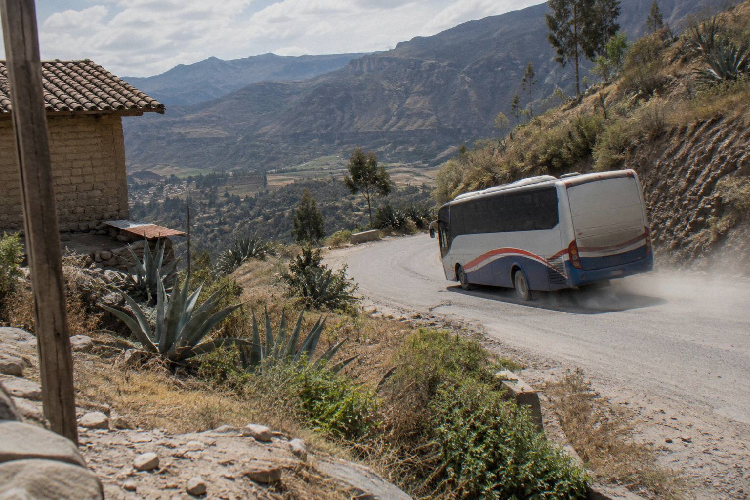
The Cajamarca approach suits travellers already in the northern highlands. Cajamarca sits at 2,731 m, and the free-flow estimate from Trujillo to Cajamarca is 290 km and 4.1 hours, again a figure real journeys exceed. From Cajamarca the road to Chachapoyas crosses high páramo country before descending to the Marañón river and climbing again; this is the most dramatic of the approaches and the one where night travel is most strongly discouraged by every government advisory this site's research draws on.
Tarapoto, in the jungle-edge region of San Martín, is the third gateway. Movil Bus lists Chachapoyas among its routes and Tarapoto among its destinations, and the jungle road between them exists, but no timetable hour, duration or fare for that leg can be printed here because none is published on an operator page. Plan that leg on the operator's own page once in country.
| Approach | Gateway city | Gateway altitude | Free-flow drive estimate | Notes |
|---|---|---|---|---|
| From the coast | Chiclayo | 28 m | 450 km, 7.0 h | Main route from Lima-side itineraries |
| From the highlands | Cajamarca | 2,731 m | Trujillo to Cajamarca 290 km, 4.1 h | Continues over high passes to Chachapoyas |
| From the jungle edge | Tarapoto | 204 m | Figures not published on operator pages | Movil Bus lists the route |
A reader building a full northern loop can pair this guide with the north coast Trujillo, Chiclayo and Mancora bus route to reach the coast gateway first, and with the Lima to Cajamarca bus route for the highland approach.
Is Chiclayo The Best Starting Point For Chachapoyas?
For a traveller coming from Lima, Chiclayo is the most practical starting point: it is a major northern terminal city with daily long-distance arrivals from Lima, and its 450 km, 7.0 hour free-flow drive estimate to Chachapoyas is the shortest and lowest of the mountain crossings. Its altitude of 28 m also means the entire altitude gain happens in one leg rather than being spread over two highland nights.
The argument for Chiclayo is structural. Lima to Trujillo is a Pan-American Highway leg of 557 km at a 9.1 hour free-flow estimate, and Trujillo to Chiclayo adds 199 km and 3.2 hours, figures that real journeys exceed, and the corridor is served by the biggest northern operators. Movil Bus, whose own route pages name Lima, Chiclayo, Trujillo, Cajamarca and Chachapoyas among its destinations, concentrates its network on exactly this corridor. A traveller can board in Lima, change in Chiclayo, and be in Chachapoyas the following day, with no high-altitude acclimatisation question until the final climb.
Chiclayo itself rewards a stop, though that is a bonus rather than a reason. The city is a working transport hub with a terminal served by multiple companies, and it is the place where the decision to buy the mountain leg is made. The how to get around Peru by bus guide covers the wider mechanics of hopping between northern cities; the specific question here is the mountain seat from Chiclayo, which is covered in the ticket section below.
One planning note that belongs here and nowhere else in this guide: the US Embassy Lima republication of the State Department advisory notes that U.S. government employees "may travel at night with commercial bus companies along the Pan-American Highway, to Huaraz, and on the Lima-Arequipa-Cusco corridor," a list that does not include the Chiclayo to Chachapoyas mountain road. Read that as an indication of which roads the embassy's own staff are cleared for, not as a verdict on this route, and weigh it against the general night-travel advice in the safety section below.
Can You Reach Chachapoyas From Cajamarca By Bus?
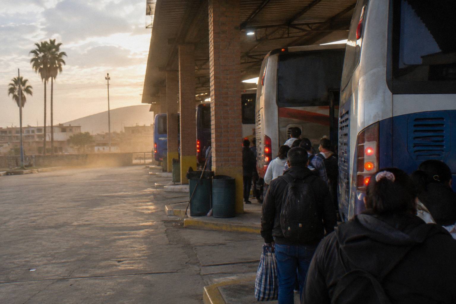
Yes, and for travellers already in the highlands it avoids a double descent to the coast: Cajamarca sits at 2,731 m, the Trujillo to Cajamarca leg is a free-flow 290 km and 4.1 hours, and the onward road to Chachapoyas crosses the northern páramo before dropping to the Marañón. The trade-off is a longer total mountain exposure than the Chiclayo approach, with the highest sustained altitudes of any route to Chachapoyas.
Cajamarca is the classic stop on a northern loop, and the bus link from Trujillo is the way in: 290 km, a 4.1 hour free-flow estimate, real journeys longer. From Cajamarca the road to Chachapoyas runs through Celendín and down the celebrated switchback descent to the Marañón river, then climbs the far side into Amazonas. It is a spectacular road and a slow one, and it is exactly the kind of mountain route the UK FCDO has in mind when it writes, on its Peru safety and security page, "Bus crashes are common, especially at night. Only use reputable transport companies, and where possible, avoid overnight travel, especially in mountainous and remote regions." That quote is not about this road specifically, but it describes this category of road.
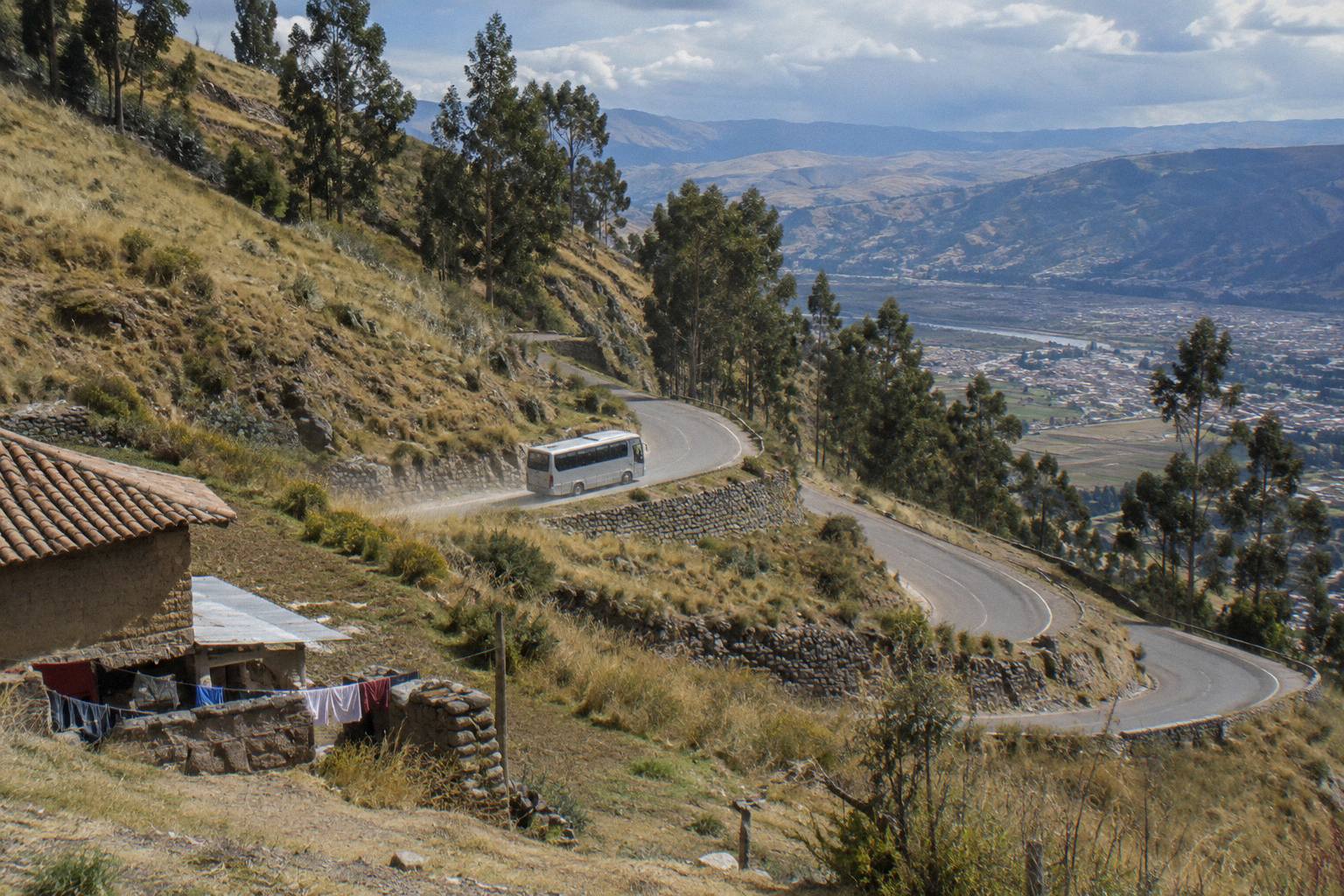
The altitude profile matters for anyone flying from sea level straight into this loop. Cajamarca at 2,731 m is lower than Cusco's about 3,400 m, but it is high enough that the first night deserves an easy pace, and the pass country between Cajamarca and the Marañón runs higher still. The site's Peru bus altitude and acclimatisation guide covers the physiology in detail. The short version relevant here: the Chachapoyas approaches gain altitude faster than almost any other tourist bus route in the country.
| City | Altitude (INEI) | Role on the route |
|---|---|---|
| Chiclayo | 28 m | Coast gateway, lowest start |
| Cajamarca | 2,731 m | Highland gateway and acclimatisation stop |
| Chachapoyas | 2,338 m | Destination, moderate altitude |
| Trujillo | 74 m | Coast hub feeding Cajamarca |
How Long Does The Bus To Chachapoyas Take?
No timetable duration for any Chachapoyas leg is published on the operator pages this research draws on, so the honest answer runs on free-flow drive estimates: Chiclayo to Chachapoyas about 450 km and 7.0 hours free-flow, Trujillo to Cajamarca about 290 km and 4.1 hours, and real bus journeys on both exceed those figures. Print any single total travel time at your peril; the road, not the schedule, sets the pace.
The reason for the caution is the road itself. Between Chiclayo and Chachapoyas the highway crosses the continental divide at the Abra Porculla and then follows the Utcubamba drainage on a road with sustained climbs, tight curves and sections where a single slow truck sets the speed for everyone behind it. The Cajamarca road is more extreme still. A free-flow estimate assumes a car driven at the limit of the road; a 20-plus metre bus on a switchback descent does not travel that way, and it is not supposed to. Peru's national transit regulation caps continuous driving at 5 hours by day and 4 at night, with a second driver required beyond that, which tells you something about the length of journey the regulators expect on these routes.
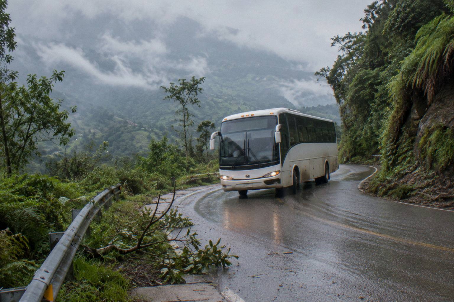
What this means for planning is simple: treat Chachapoyas as a full-day destination from either gateway, build a buffer day into any Kuelap or Gocta plan, and do not stack an international flight or a tight connection onto the afternoon after arrival. The site's overnight bus in Peru guide covers the general mechanics of long night legs, though on these particular mountain roads the daylight advice in the safety section below takes priority over any convenience argument.
Which Bus Companies Serve Chachapoyas?
Movil Bus is the operator whose own pages name Chachapoyas among its routes, alongside Lima, Chiclayo, Trujillo, Cajamarca and Tarapoto, and its service classes and luggage allowances are published: recline from 120 degrees in its Economico class up to 160 degrees in Ejecutivo VIP and Presidencial, 20 kg of hold luggage and 8 kg of hand luggage. Other companies serve the town from local offices, but their route claims are not verified on operator pages and are left out here.
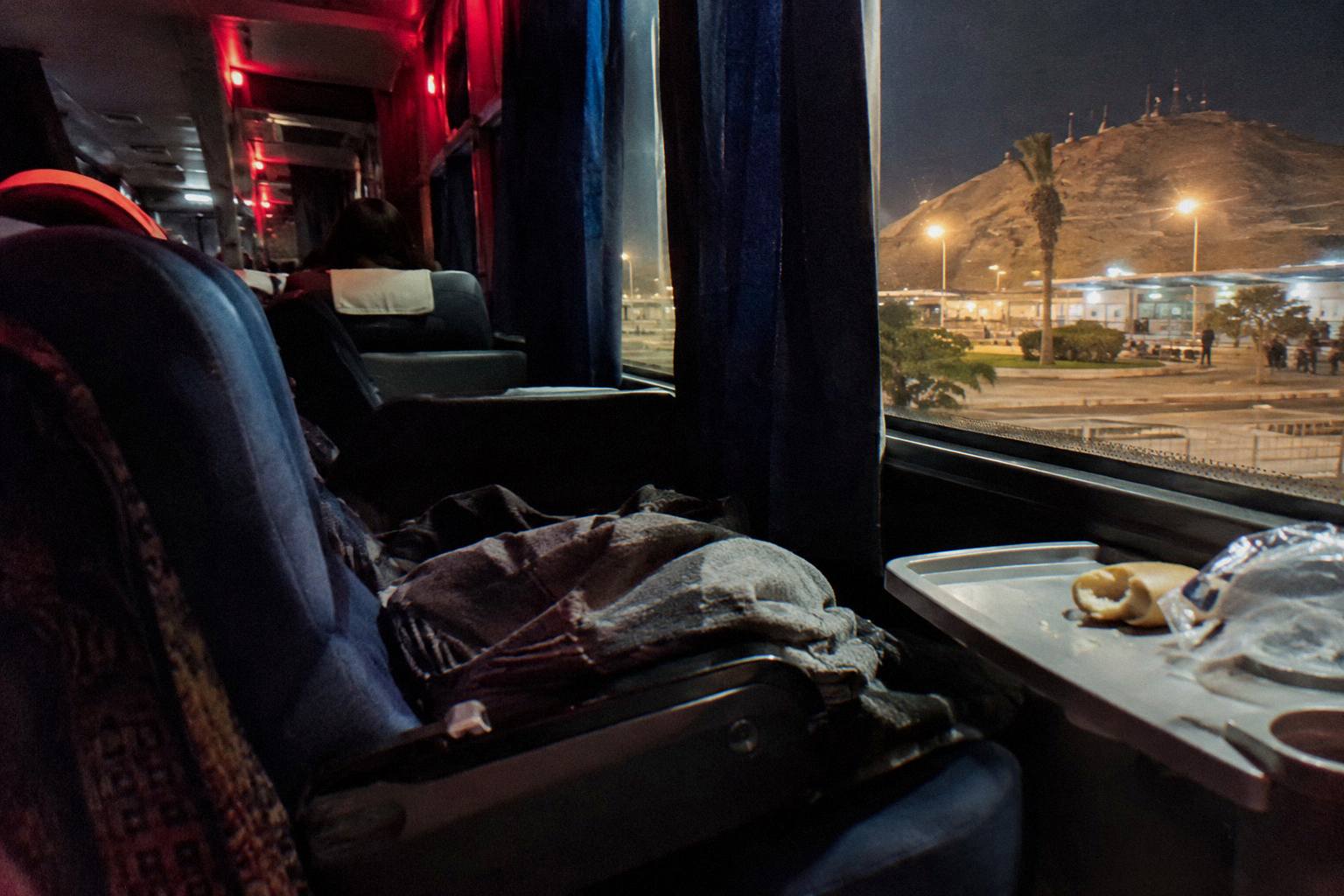
The Movil Bus details are worth knowing because they are the one operator's published facts for this corridor. Its classes page lists Economico seats at 120 degrees of recline, Ejecutivo VIP at 140 and 160 degrees, Presidencial at 160, and Premier at 160 on the first level with a full flat 180 on the second, and its travel-recommendations page sets the luggage allowance at 20 kg in the hold across up to three pieces and 8 kg of hand luggage across up to two. The company states its buses carry GPS monitoring with speed control. These are operator claims, printed as such, but they are the operator's own claims rather than a reseller's paraphrase. More of these guides are collected on Peru By Bus.
The wider context for choosing a northern operator is on the Oltursa, Civa and Movil Bus compared page, and the question of which company earns the most confidence is treated on the safest bus company in Peru post. Neither piece ranks operators for this specific mountain road, because the facts to do so do not exist; what exists is the regulation that applies to all of them, including the SUTRAN rule that the 90 km/h interprovincial limit applies only on roads without another speed sign, a rule that matters on exactly the kind of descending curves this route is built from.
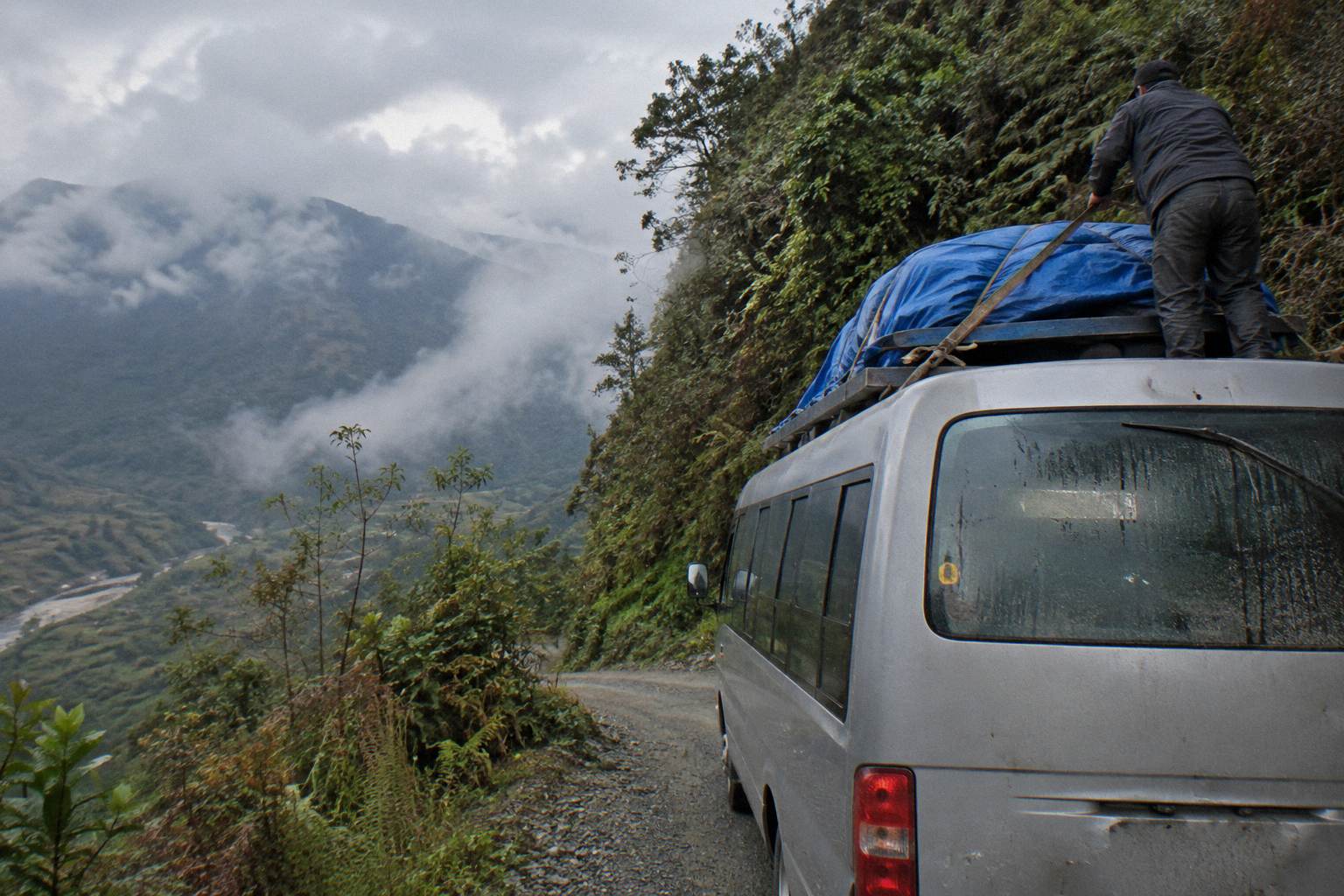
Peru Hop does not serve this route; its passes cover the south of the country and none of them reaches Chachapoyas or the north.
What Is The Chachapoyas Terminal Like?
Chachapoyas is a small provincial terminal compared with the coast hubs: buses arrive at the town's terminal a short walk or taxi ride from the plaza, and the practical differences that matter are that not every company sells onward tickets there, that luggage handling is manual, and that the registered-taxi advice from the foreign advisories applies with full force at night. No company-specific terminal address is published on an operator page, so none is printed here.
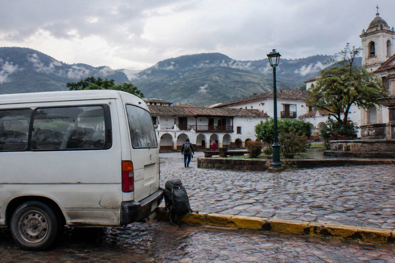
What can be said with confidence is regulatory rather than operational. Peru's transit rules require regular carriers to use authorised terminals at origin, destination and stops, forbid using the public road as a terminal, and require boarding and alighting only inside the terminal area with the bus stopped. That is the framework a town the size of Chachapoyas works within: a formal terminal building, defined platforms, and no flagging down buses on the street for interprovincial service.
The arrival advice comes straight from the UK FCDO's Peru page: "There is a risk of robbery by criminals posing as taxi drivers, especially at Jorge Chavez International Airport and bus terminals," and the same page tells travellers to "use one of the taxis registered at bus terminals." The Government of Canada echoes it: "Remain particularly vigilant at bus terminals and in taxis" and "Only use authorized cabs located inside airport terminals and bus stations." At a small highland terminal after a long mountain journey, the temptation to take the first car that offers is exactly the temptation these quotes are warning about.
From the terminal, the town is compact. The plaza, the museums and the tour offices for Kuelap and Gocta cluster within a modest radius, and the day-tour logistics are covered on the site's how Peru bus travel works overview of how Peruvian bus travel fits together. For luggage discipline on the walking legs of arrival, the Peru bus luggage and theft guide is the detailed reference.
How Do You Buy A Chachapoyas Bus Ticket?
Buy the Chiclayo to Chachapoyas seat in advance through a seat search for this route, and buy it with the transit rules in mind: INDECOPI states a domestic ticket can be postponed or transferred with 24 hours notice at only the real reissue cost, up to 20 kg of hold luggage is free on national service, and a fare receipt is your right. On the mountain legs seats sell out around peak dates in a way coast tickets do not. Check availability
The ticket mechanics are covered in depth on the how to book Peru bus tickets page, which walks through payment methods, confirmation and what a legal ticket must show. What is specific to Chachapoyas is the squeeze. This is a thin-service route on a road where one bus is one bus: if the day's departure is full, the next seat can be a day away. The free-flow figures above explain why operators cannot simply add capacity the way a coast operator can.
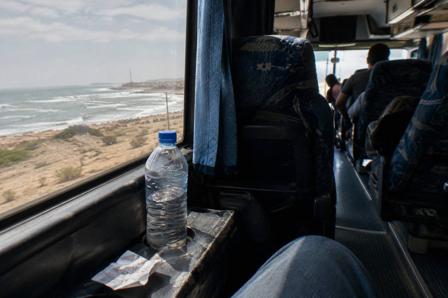
Two rules from the regulation are worth carrying into any purchase. First, INDECOPI's consumer notice on domestic bus tickets: with at least 24 hours notice, a ticket can be postponed or transferred and only the real cost of reissuing may be charged, with no penalty. Second, SUTRAN and INDECOPI both advise passengers to obtain a luggage ticket for hold baggage, a small tag-and-stub ritual that becomes the evidence behind any later claim, since the regulation pays compensation for loss or damage from the carrier's fault at a percentage of the fare scaled by weight band.
For travellers building the whole journey from Lima, the airport end has its own dedicated product: the Lima Airport to Huaraz bus ticket run by First Class Huaraz, which the listing prices from US$50 per person with hotel pickup on request, full names and passport numbers needed to print tickets, and a non-refundable, no-change condition on that product alone. It is the same lesson as the Chachapoyas leg in reverse: read the cancellation line before paying, not after.
Is The Chachapoyas Route Safe?
No advisory consulted here declares any route in Peru safe, and the Chachapoyas route is no exception: Canada warns that intercity bus travel can be dangerous because of accidents caused by excessive speed, poor vehicle maintenance and driver fatigue, while Australia urges a high degree of caution in Peru overall due to the threat of violent crime, so travel by daylight with a named operator and board at a terminal.
The specific quotes that shape this route, all verbatim and all named. Canada: "Avoid taking buses and coaches at night" and "Armed gangs have been known to stop buses to rob travellers, especially at night." Australia's Smartraveller: "Robberies and assaults occur frequently on intercity buses, including while passengers are sleeping" and "bogus roadblocks or checkpoints on roads outside major cities after dark." The UK FCDO adds "Armed robbers sometimes hold up provincial and inter-city buses." The mountain roads into Amazonas are provincial inter-city roads, and the night warnings were written with roads like them in mind.
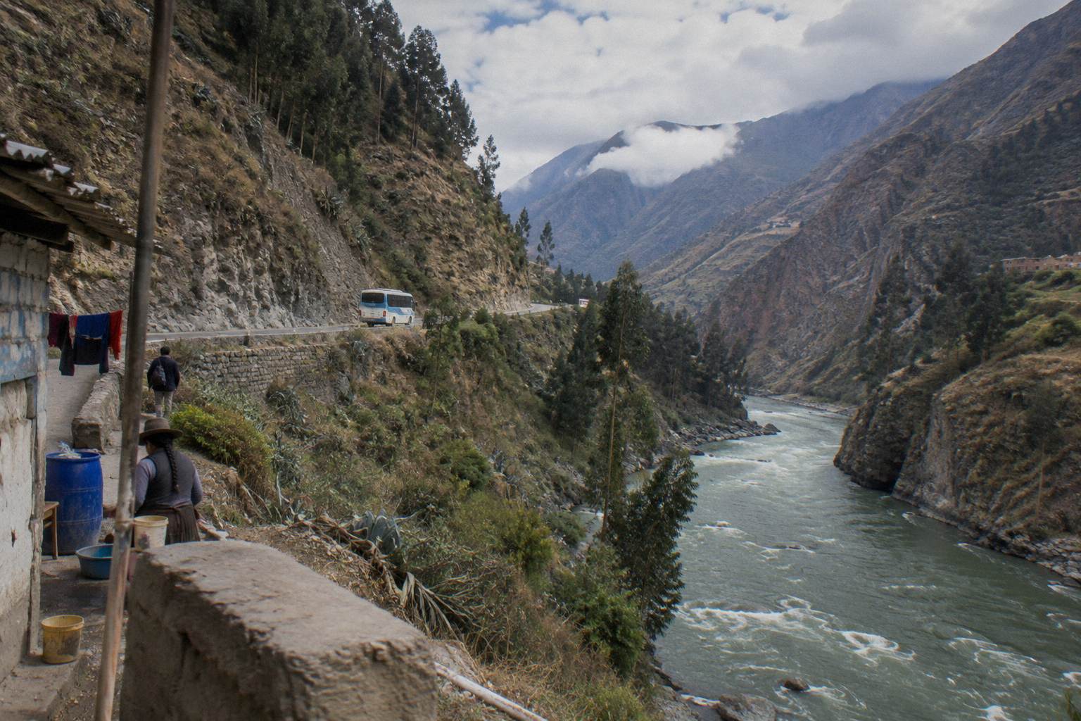
The second risk category is disruption rather than crime. The FCDO writes: "Political protests in Peru are unpredictable and can escalate quickly. Demonstrations can become violent and lead to roadblocks, travel disruption, including trains, and suspension of immigration services at land borders," and separately, "Do not attempt to pass blockades." Canada notes "Roadblocks are frequently erected during demonstrations." The practical tool is SUTRAN's alert map, which shows closed roads in red, restricted in yellow and open in green, and which lists blockades among its causes. The site's dedicated page on delays, strikes and road blocks on Peru buses covers the full playbook; the one-line version for this route is to check the map the day before each mountain leg.
The third is weather. The FCDO's notice reads: "Through late 2026 to April 2027, the El Nino weather event is expected to generate heavy rainfall, possible flooding, landslides, and mudslides, especially in, but not restricted to, the northern and central coast. These could cause travel disruption, such as road closures." The northern approaches to Chachapoyas sit in that zone of concern, and a traveller crossing in the wet months should hold the buffer day mentioned earlier.
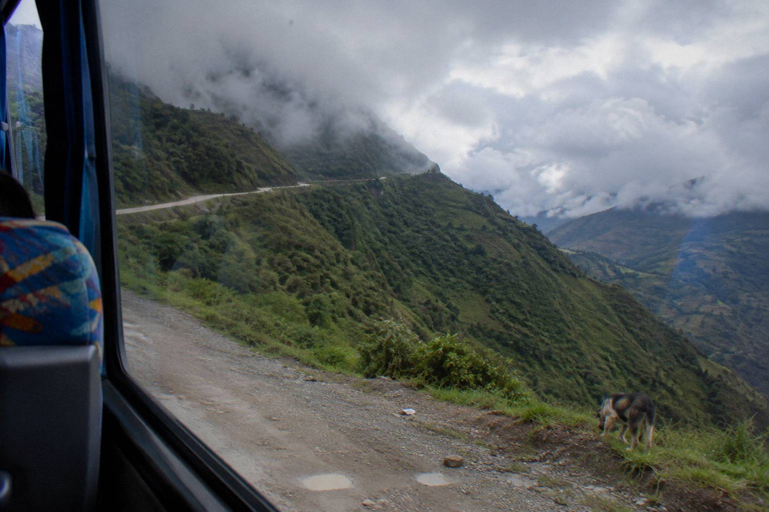
Should You Fly Past The Bus And Back?
This page cannot honestly answer that for Chachapoyas, because no verified flight fact appears in this research, so no plane-versus-bus comparison is made here. What the facts do support is that buses from Chiclayo or Cajamarca take a full day, daylight travel is advised on the mountain legs, and a buffer day protects a Kuelap or Gocta plan from one delayed departure; the wider bus-versus-plane question has its own guide.
The reason is simple honesty. Every figure on this page traces to an operator page, an official regulator or a routing engine, and no scheduled-service flight fact for Chachapoyas appears in any of them. The site's general treatment of the trade-off, including where flying genuinely beats the bus in Peru and where it does not, is the Peru bus versus flight comparison, and the train alternative that exists elsewhere in the country is covered on the Peru train versus bus page. For Chachapoyas specifically, the bus is the mode the verified facts describe.
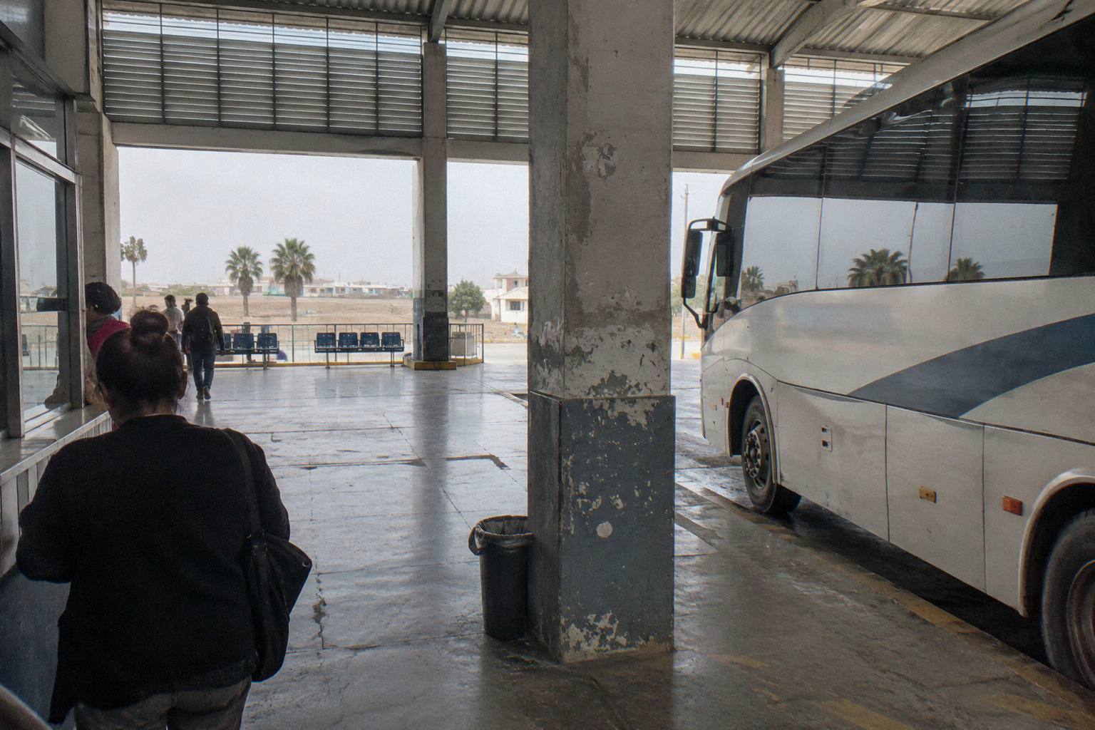
What the buffer day buys deserves one concrete sentence rather than a slogan. Kuelap visits and Gocta waterfall hikes are booked from Chachapoyas offices for set days; a bus that arrives a day late does not merely cost a hotel night, it costs the slot. Travellers tight on time can shorten the coast end of the trip instead of the mountain end, using the tools in the ten day Peru itinerary by bus as a template and swapping the northern legs this page describes.
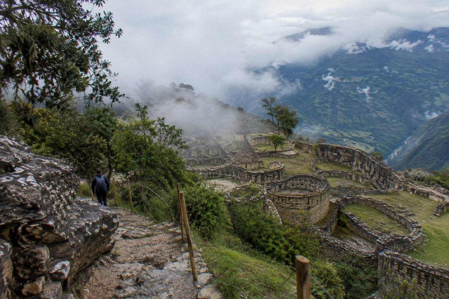
Does Altitude Matter On The Way To Chachapoyas?
Chachapoyas itself sits at a moderate 2,338 m, low by Andean tourist standards, but the approaches are not moderate: the Cajamarca gateway is at 2,731 m and the road from there crosses higher country before dropping to the Marañón, while the Chiclayo route climbs from 28 m in a single leg. The destination is gentle and the journey is not, and the highland approach deserves an acclimatisation night in Cajamarca.
The numbers, all INEI altitudes for provincial capitals: Chiclayo 28 m, Trujillo 74 m, Tarapoto 204 m, Chachapoyas 2,338 m, Cajamarca 2,731 m. Seen as a profile, the coast approach gains more than two vertical kilometres in one bus day, which is faster gain than a Cusco flight itinerary imposes, while the Cajamarca approach starts high and stays high for its first half. The physiology of rapid gain, and the honest limits of what a bus seat can do about it, are laid out on the altitude guide linked earlier; the planning point for this route is that arriving from Chiclayo, the altitude question begins at the pass, not at the destination.
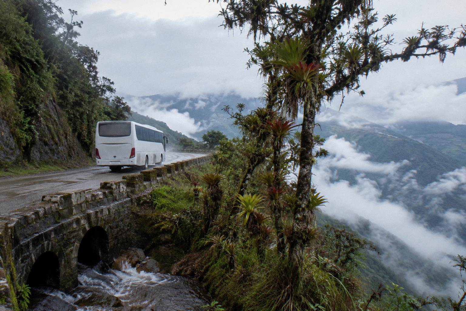
The cloud-forest setting cuts both ways once you arrive. The region around Chachapoyas is green because it rains, and the Andean rainy season runs roughly September to April by SENAMHI's seasonal framing, with the wettest months in this latitude band falling between November and March. Rain does not close the Kuelap cable car or the Gocta trail as a rule, but it does make the mountain roads slower and the viewpoint weather less cooperative, which loops back to the buffer-day advice this page has repeated for good reason.
| Planning item | What the facts support |
|---|---|
| Destination altitude | Chachapoyas 2,338 m (INEI) |
| Gateway altitudes | Chiclayo 28 m, Cajamarca 2,731 m, Tarapoto 204 m |
| Main route distance | Chiclayo to Chachapoyas about 450 km, 7.0 h free-flow |
| Highland feed | Trujillo to Cajamarca about 290 km, 4.1 h free-flow |
| Named operator | Movil Bus lists Chachapoyas among its routes |
Common Questions About Getting To Chachapoyas By Bus
How Do I Get To Chachapoyas By Bus?
Approach from Chiclayo on the coast, about 450 km and a 7.0 hour free-flow drive estimate, from Cajamarca in the highlands, fed by a Trujillo to Cajamarca leg of about 290 km and 4.1 hours free-flow, or from Tarapoto on a route Movil Bus lists without published figures. Real journeys on every leg exceed the free-flow estimates.
Which Bus Company Goes To Chachapoyas?
Movil Bus names Chachapoyas among its routes on its own pages, alongside Lima, Chiclayo, Trujillo, Cajamarca and Tarapoto, with classes from 120 to 180 degrees of recline and a 20 kg hold plus 8 kg hand luggage allowance. Other local companies serve the town from offices rather than published route pages.
How Long Is The Bus From Chiclayo To Chachapoyas?
The free-flow drive estimate is about 450 km and 7.0 hours, and it is a floor rather than a schedule: the road crosses the continental divide and follows mountain drainage, and no timetable duration is published on the operator pages this research draws on. Plan the leg as a full day.
Can I Take A Bus From Cajamarca To Chachapoyas?
Yes, and it is the most dramatic approach, crossing high páramo before the descent to the Marañón river and the climb into Amazonas. Cajamarca sits at 2,731 m, so acclimatise there first, and follow the daylight-travel advice the foreign advisories give for mountain roads.
Is The Bus To Chachapoyas Safe?
No advisory describes bus travel in Peru as safe. Canada writes "Intercity bus travel can be dangerous due to the risk of bus accidents" and "Avoid taking buses and coaches at night"; Australia writes "Exercise a high degree of caution in Peru overall due to the threat of violent crime." Daylight travel on the main approaches with a named operator is the planning response.
Does Peru Hop Go To Chachapoyas?
No. Peru Hop's passes cover the south of the country and Bolivia, and none of its listed passes reaches Chachapoyas or northern Peru.