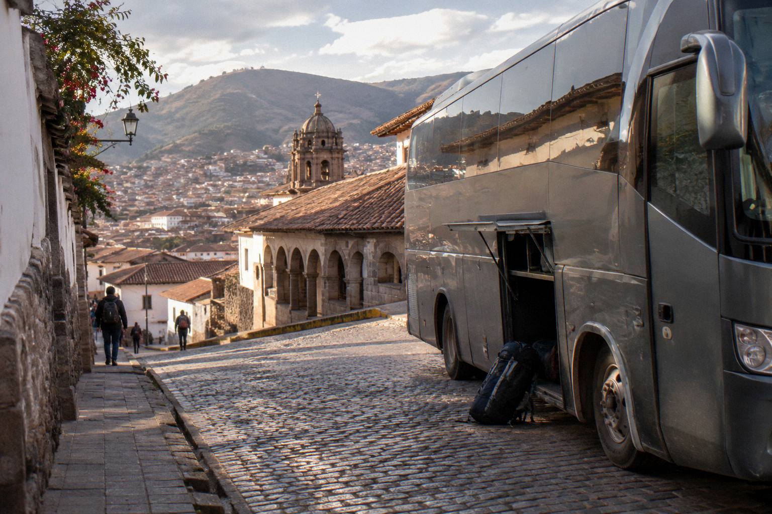
Altitude Sickness On Peru Buses: Passes, Routes And How To Prepare
Peru's bus network crosses some of the highest scheduled road terrain on earth, and the difference between a comfortable trip and a miserable one is rarely the bus. It is the order in which you visit the cities.
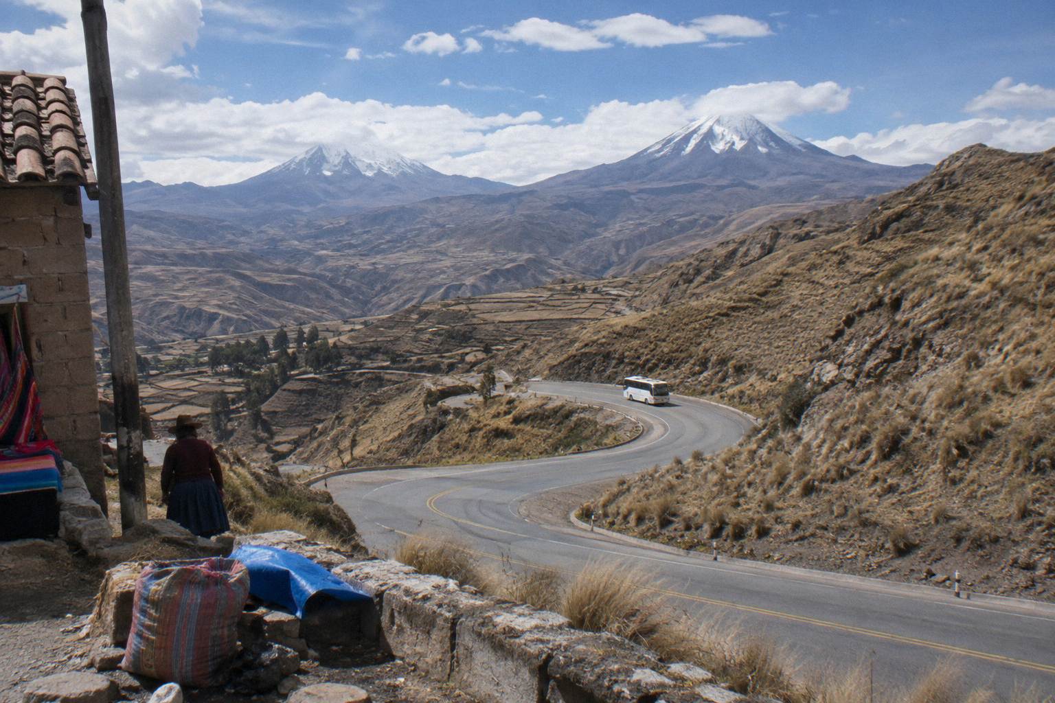
Short answer
Puno sits at 3,848 m, Cusco at about 3,400 m and the Puno to Cusco bus crosses Abra La Raya at about 4,300 m. Lima starts at 162 m, so a route that climbs in stages, Lima, Arequipa at 2,429 m, then Cusco and Puno, gives your body time to adjust. Ask a doctor or travel clinic before you travel.
Peru's bus network is one of the highest passenger road systems in the world, and the numbers explain why so many trips feel harder than the map suggests. Lima's centre sits at 162 m above sea level, while Puno, on the shore of Lake Titicaca, stands at 3,848 m. Between those two points the highway climbs over passes that top four thousand metres, and a bus covers the whole rise in under two days of driving. This guide lays out the altitudes city by city, the passes the buses actually cross, and how to order a route so the climb happens in stages rather than in one jump. What it deliberately does not do is give medical advice: for questions about medication, pre-existing conditions or how your own body handles thin air, the answer is a doctor or a travel clinic, not a bus website.
Why Do Peru Bus Routes Cause Altitude Problems?
Peru's bus routes cause altitude problems because of speed, not height. Millions of people live at Puno's 3,848 m without difficulty, their bodies adapted over years, while a bus compresses that same climb from Lima's 162 m into hours, giving you no time to adjust as each lungful of air carries less oxygen than the one before.
The geography of Peru makes this a bus problem more than a train or flight problem, because the road network is the only way most of the high country connects. The southern tourist corridor, Lima, Paracas, Huacachina, Nazca, Arequipa, Puno, Cusco, rises in convenient steps, which is one reason it works so well for travellers. The northern and central routes are less forgiving: the Lima to Huaraz bus covers about 402 km with an OSRM free-flow drive estimate of about 5.5 hours, a figure real bus journeys exceed, and finishes in a city at 3,073 m. Huancayo, at 3,294 m, and Ayacucho, at 2,797 m, sit on central highland roads that cross even higher ground along the way.
The seat of the bus is where the effects show up. A long climb means hours in recirculated air, limited movement and, on night services, sleeping upright, and the combination leaves many passengers feeling flat well before the terminal. None of this is a reason to avoid the routes; it is a reason to plan them. The sections below give the numbers first, then the sequencing, then the practical choices at the ticket stage.
For background on how the wider network fits together, the Peru bus routes overview maps the main corridors and where they climb.
How High Does Each City On The Bus Network Sit?
Lima is the baseline at 162 m, and every highland destination is measured against it. Arequipa stands at 2,429 m, Cusco at about 3,400 m and Puno at 3,848 m. In the north and centre, Huaraz sits at 3,073 m, Huancayo at 3,294 m, Ayacucho at 2,797 m, Cajamarca at 2,731 m and Chachapoyas at 2,338 m. Coastal stops such as Paracas and Huacachina are near sea level.
The table below is the planning backbone for the whole article. These are INEI altitude figures for each city, and they are worth reading in the order a route might visit them, because the gaps between rows are what your body notices.
| City | Altitude (INEI) | Region |
|---|---|---|
| Lima | 162 m | Coast |
| Paracas | Near sea level | Coast |
| Huacachina | Near sea level | Coast |
| Arequipa | 2,429 m | South |
| Ayacucho | 2,797 m | Central highlands |
| Cajamarca | 2,731 m | North |
| Chachapoyas | 2,338 m | North |
| Huaraz | 3,073 m | Ancash |
| Huancayo | 3,294 m | Central highlands |
| Cusco | About 3,400 m | South |
| Puno | 3,848 m | Lake Titicaca |
Two readings from that table matter more than the rest. First, the jump from Arequipa to Cusco, roughly 1,000 m, is gentler than the jump from Lima straight to Cusco, well over three thousand metres, which is why staged routes through Arequipa have become the standard advice among travellers who research the numbers. Second, Puno is nearly 450 m above Cusco, so Puno deserves the most acclimatised version of you, not the first day of your trip.
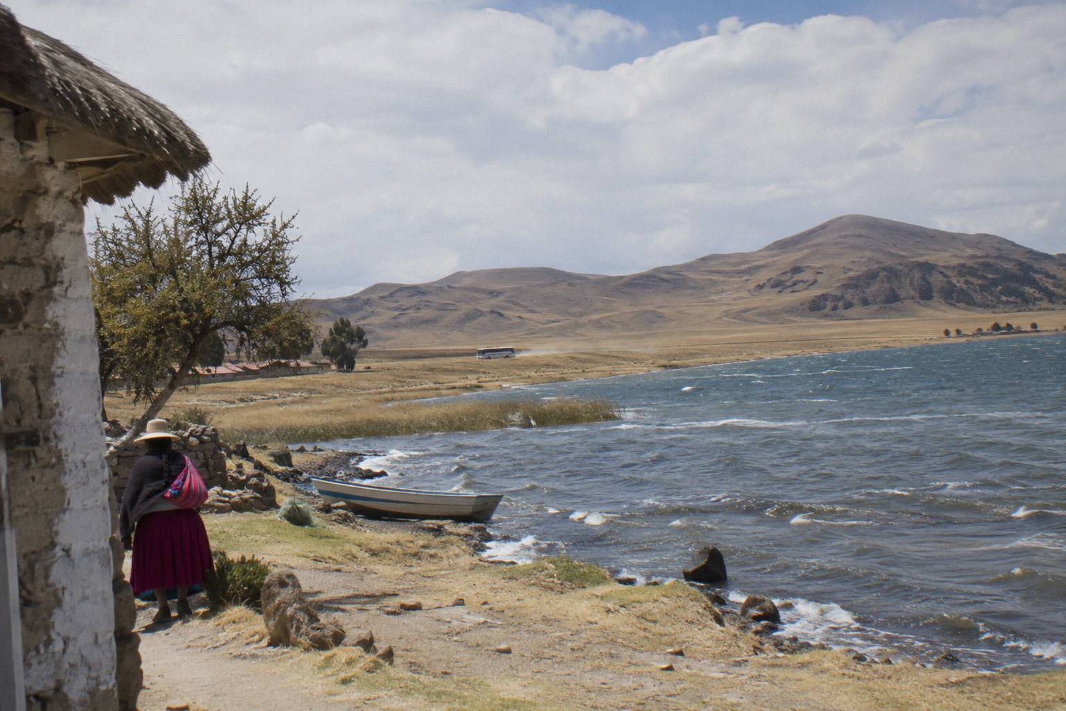
If Puno and the lake are on your list, the Puno to Copacabana bus guide covers the border leg that continues from Titicaca's shore, on a crossing whose OSRM free-flow drive estimate of about 2.5 hours for the 142 km excludes border waits.
If you are weighing tickets for the high southern legs now, these three cover the corridor's main hops:
Which Passes Do Peru Buses Cross Above 4,000 Metres?
Peru's scheduled bus network crosses five passes above four thousand metres: Abra La Raya at about 4,300 m on the Puno to Cusco road, Crucero Alto at about 4,250 m between Arequipa and Puno, Conococha at 4,087 m on the Lima to Huaraz road, Chucura at about 4,700 m towards Chivay, and Anticona, above 4,700 m, on the Lima to La Oroya road.
A pass is the high point between two valleys, and on Peruvian long-distance routes the bus spends real time up there: the La Raya stretch is a long, slow plateau rather than a quick crest, and roadside stalls at the summit make it a photo stop on tourist services. The heights below are INEI figures, printed rounded where the institute's own editions differ.
| Pass | Route it sits on | Height (INEI) |
|---|---|---|
| Abra La Raya | Puno to Cusco | About 4,300 m |
| Crucero Alto | Arequipa to Puno | About 4,250 m |
| Conococha (Shoclla) | Lima to Huaraz | 4,087 m |
| Chucura | Arequipa to Chivay (Colca) | About 4,700 m |
| Anticona | Lima to La Oroya road | Above 4,700 m |
The Anticona figure deserves a note on naming: INEI uses the name Anticona for the pass on the Lima to La Oroya road, and the institute's own tables give values that differ between editions, which is why this page prints only "above 4,700 m" with that attribution. No other pass height on the national network has a verified figure, so none is invented here.
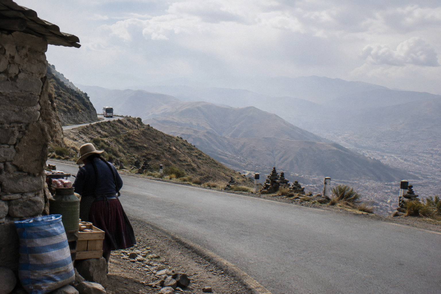
Pass heights also explain a quirk of Peruvian bus travel: the highest point of a trip is regularly higher than its destination. A bus from Arequipa at 2,429 m to Puno at 3,848 m tops out at Crucero Alto, about 4,250 m, meaning passengers spend the middle of the ride higher than either end of it.
How Should You Sequence A Route So The Climb Is Gradual?
The southern corridor gives you a natural staircase: Lima at 162 m, then the coast at sea level, then Arequipa at 2,429 m for a night or two, then Cusco at about 3,400 m, then Puno at 3,848 m. Done in that order, no single bus leg raises you by much more than a thousand metres. Done in reverse, the biggest jump of the trip becomes your first day, which the numbers argue against.
Distances make the staircase practical. Arequipa to Puno is about 273 km with an OSRM free-flow drive estimate of about 5.5 hours, a figure real bus journeys exceed. Puno to Cusco is about 387 km, free-flow about 6.2 hours. Arequipa to Cusco direct is about 487 km, free-flow about 9.4 hours. None of these are timetable times; they are planning yardsticks for how long a body spends climbing, and the direct Arequipa to Cusco service shows why the split route is gentler: it stacks two climbs into one sitting.
| Leg | Distance | OSRM free-flow drive estimate | Altitude change |
|---|---|---|---|
| Lima to Huaraz | About 402 km | About 5.5 h | 162 m to 3,073 m |
| Arequipa to Puno | About 273 km | About 5.5 h | 2,429 m to 3,848 m |
| Puno to Cusco | About 387 km | About 6.2 h | 3,848 m to about 3,400 m |
| Arequipa to Cusco | About 487 km | About 9.4 h | 2,429 m to about 3,400 m |
Read the last column of that table carefully and the whole strategy appears. Only the Lima to Huaraz leg and the Arequipa to Puno leg deliver you to a place meaningfully higher than where you woke up, and Arequipa to Puno starts from a base that has had time to adjust you. Puno to Cusco, remarkably, goes downhill at the end, because the bus crosses La Raya at about 4,300 m and then descends into Cusco at about 3,400 m. Many travellers run the corridor in the Cusco-last direction for exactly that reason.
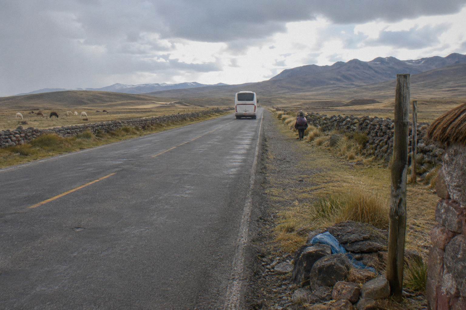
For a fixed-itinerary alternative on the same corridor, Peru Hop runs hop-on hop-off passes along the southern chain, and Peru Hop reports that its tickets are valid for a year with bus times changeable in the app up to 12 hours before departure. That flexibility matters on a climbing route, because it lets a traveller add an unplanned rest day in Arequipa without rebooking a stack of separate tickets. The hidden stops its Lima passes list, including the Paracas National Reserve and the Lake Lagunillas viewpoint, sit on the climb itself.
A short callout if you are comparing approaches: a pass ties the whole staircase into one product, with stops already sequenced coast to sierra, while separate tickets buy the same staircase one leg at a time and demand a little more planning. See Peru Hop Passes for the route chain on its own pages, prices excluded here.
Does The Bus Itself Change How Altitude Feels?
The bus changes the experience of altitude more than the physiology: recline angle decides whether you sleep, heating and air conditioning decide whether the cabin is comfortable, and the pace of the climb decides how long the thin air lasts. Operators publish the recline figures on their own pages, Cruz del Sur lists 160 and 180 degree seats across its classes, and Linea lists Super VIP seats at 180 degrees. No bus feature prevents or treats altitude effects.
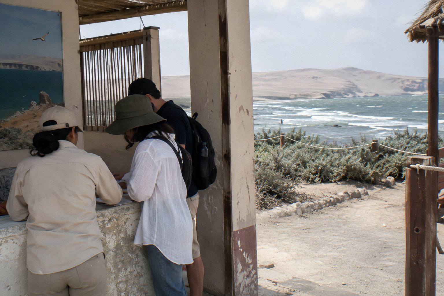
Recline matters because night services are a fixture of the high routes, and the operators state their numbers directly. Cruz del Sur lists seats reclining from 140 to 180 degrees depending on class, alongside seat belts, toilets, GPS monitoring and heating on board, with a pilot change every 4 hours. Linea lists its Super VIP class at 180 degrees, VIP at 160, Dorado at 160 and Especial at 145. Movil Bus publishes class reclines from 120 degrees in Economico to 180 in its second-level Premier seats, though its network is northern and central, not the southern corridor. Oltursa states no recline degrees anywhere on its pages, so none is printed for it here.
Heat deserves a mention on its own. The altiplano is cold at height, and a bus without working heating turns a night crossing of Crucero Alto into an endurance test. Cruz del Sur is among the operators that list heating on board, and Peru Hop states air conditioning and heating systems on its fleet. If a listing does not mention heating, treat that as a question for the operator, not an assumption either way.
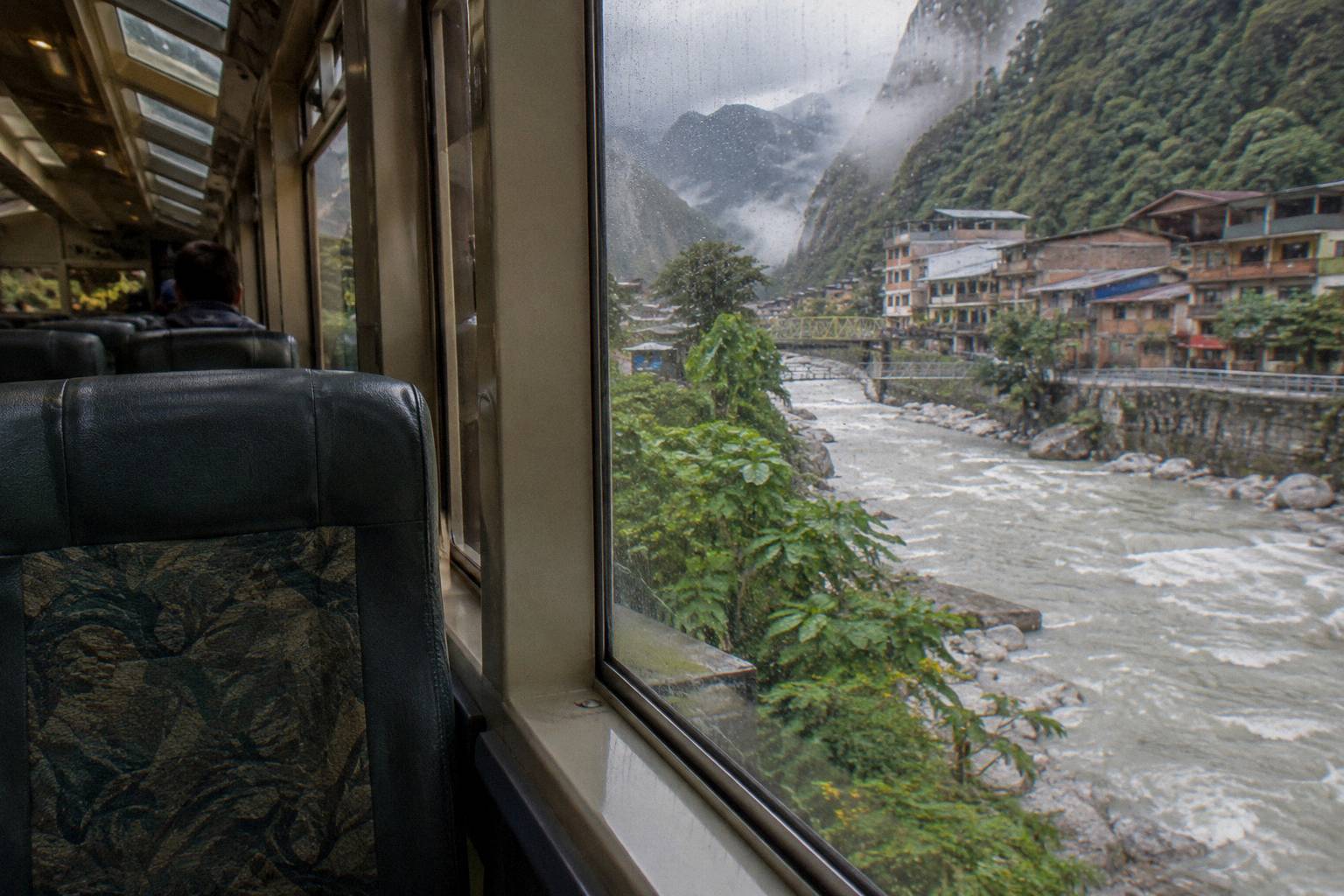
On the listed tourist buses that serve the high corridor, the seating picture comes from each product's own page. The Turismo Mer sleeper from Arequipa to Puno, a night service, lists 160 degree recline seats; its listing gives 7 hours for the run. The World Explorer Peru direct bus from Cusco to Arequipa names a Cruzero Suite 160 degree seat, with the listing giving 10 hours. The listing for the Turismo Mer Puno to Cusco service gives 11 hours with a lunch stop and drops at the Terminal Privado Turismo Mer in Cusco. The overnight buses in Peru guide works through night services in more detail, including seat choice.
Which Bus Tickets Fit An Acclimatising Route Best?
Three tourist buses fit the climb best: the Turismo Mer sleeper from Arequipa to Puno, rated 4.3 across 20 reviews; the Turismo Mer Puno to Cusco service with a lunch stop, rated 4.6 across 24 reviews; and the World Explorer Peru direct bus from Cusco to Arequipa, rated 3.7 across 16 reviews. All three allow free cancellation up to 24 hours ahead for a full refund, which suits a plan that may shift as you adjust.
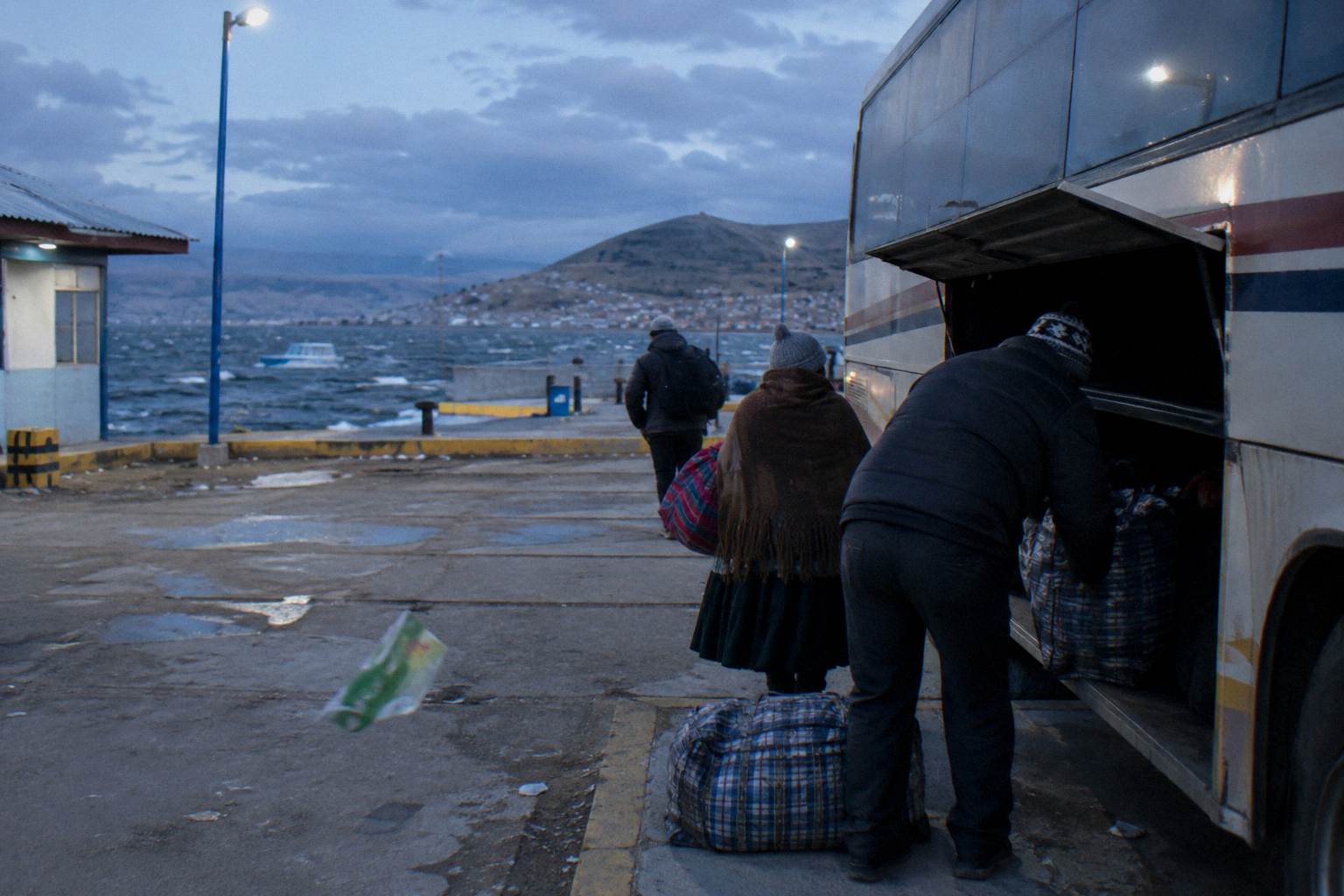
The Turismo Mer bus from Puno to Cusco with a lunch stop is the natural pick for the La Raya crossing, because the day service turns the highest stretch of the corridor into the most interesting one, and the 11-hour listing duration pairs a long ride with a break in the middle. Check availability if the staged route ends in Cusco.
The Turismo Mer sleeper from Arequipa to Puno covers the Crucero Alto leg overnight, with a 160 degree recline listed, and one detail worth checking before you book: the terminal boarding fee is listed as not included, so read the boarding fee line on the listing. The World Explorer Peru direct bus from Cusco to Arequipa runs the corridor in the downhill direction, from about 3,400 m to 2,429 m, which is the comfortable way round if Cusco came first in your plan.
For trips in the other direction, the stage through Arequipa needs no heroics: two nights at 2,429 m before the sleeper to Puno is the pattern the numbers support. Booking each leg separately is what makes that pattern adjustable, since a slow start in Arequipa costs one ticket change rather than a reworked itinerary. For more on tickets, cancellations and refunds, see the guide to booking Peru bus tickets.
What Should You Pack For A High-Altitude Bus Ride?
Pack for three things: cold, sun and boredom. Layers that work at a high pass and shed in Arequipa's sunshine, sunglasses and sunscreen for UV that strengthens with every metre, and water plus snacks for legs whose listings run six to eleven hours. For anything medical, from pain relief to prescription questions, the preparation belongs with a doctor or travel clinic before the trip, not with advice from a bus site.
The cold is not optional equipment. A bus can be warm in its cabin and stone cold at a photo stop on La Raya, and the difference between the two is a matter of steps out of the door. Layers beat a single heavy coat because the same ride moves between a heated cabin, a summit stop and a terminal at night. Sunglasses matter more than lowland instinct suggests: thinner air filters less of the glare, and the altiplano's flat light is deceptive.
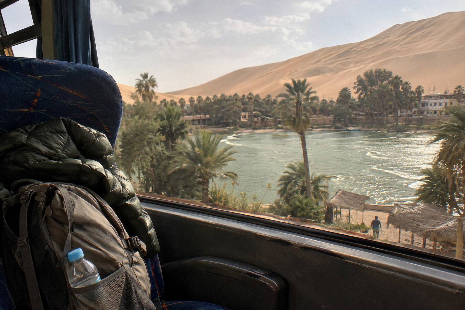
The practical logistics layer on top. Luggage allowances are generous and stated by the operators: Peru's national transit regulation allows up to 20 kg free on national service, Cruz del Sur lists 20 kg in the hold plus 6 kg by hand, Oltursa lists 20 kg plus one hand piece of up to 5 kg, Movil Bus lists 20 kg plus 8 kg, and Linea lists 20 kg. Keep anything you need for the ride, layers, water, documents, in the cabin with you, because the hold is sealed for the climb. The full allowance picture, plus what happens when luggage goes missing, is in the Peru bus luggage and theft guide.
On documents: the UK FCDO advises, in its own words, "on bus journeys, keep your passport with you", meaning on your person rather than in checked bags. That is a terminal-and-baggage rule as much as an altitude one, but the long high routes are exactly where hold access is limited for hours at a stretch.
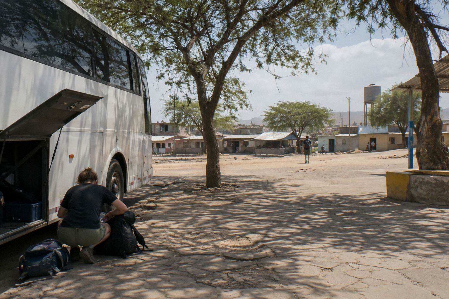
What Do You Do If You Feel Unwell During The Climb?
Tell the crew. Onboard staff on Peru's interprovincial and tourist buses handle unwell passengers regularly, and they can flag the driver, arrange help at the next stop and get a passenger off the high ground at the next town. The universal rule at altitude is that going lower helps, and on a bus route the road itself does the descending. Anything that feels serious is a medical matter, and the answer is a doctor, not a website.
Peru's buses are crewed, not driver-only, on the long legs, and regulation explains why: trips beyond 5 hours of continuous driving by day, or 4 at night, require a second driver, and trips over 20 hours require a third. Crew on tourist services are there precisely for the ride's human logistics, and the tourist buses on this corridor carry a host or guide. Asking for help early is the correct move rather than a last resort.
If the feeling is mild, the bus itself offers remedies the schedule already contains. Stops break the ride, lower ground helps, and both come automatically: the Puno to Cusco service's lunch stop lands mid-route, and every high pass on the network is followed by a descent. Ride out the worst stretch, then reassess at the terminal rather than mid-plateau. Passengers with a planned continuation the same day should treat the connection as changeable, which is one more argument for the free-cancellation tickets described above.
The distinction between "rough" and "wrong" belongs to a clinician, which bears repeating because travel forums blur it. A doctor or travel clinic can advise before departure on how your health history interacts with a 3,848 m destination, and that conversation is the single most useful preparation this page can point to. The Peru bus safety guide covers the operational side, from SUTRAN's bus and driver lookup to the alert map at alertasviales.sutran.gob.pe, which shows closed roads in red and restricted ones in yellow.
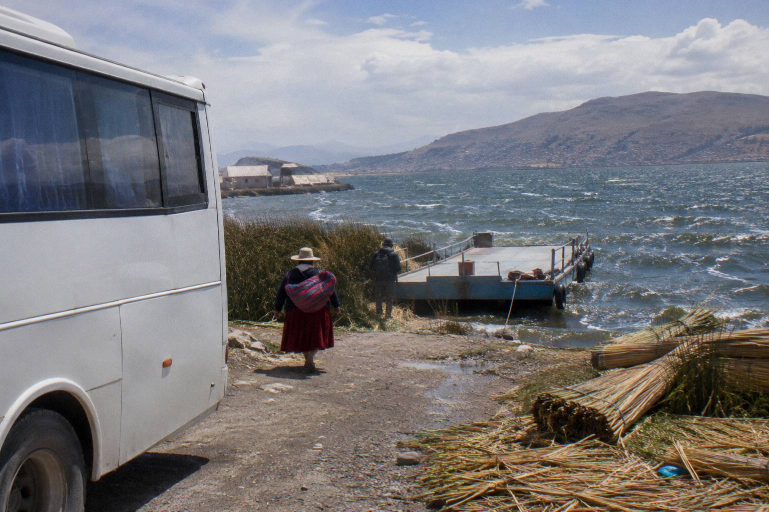
How Do Strikes And Weather Interact With High Routes?
High passes are where strikes and rain bite first, because a closed road at 4,300 m has no alternative track. The FCDO states that "Political protests in Peru are unpredictable and can escalate quickly", that demonstrations "can become violent and lead to roadblocks", and that travellers should not attempt to pass blockades. Before any high-altitude leg, check SUTRAN's live alert map and ask the carrier, because a rerouted bus on the altiplano can mean a much longer day.
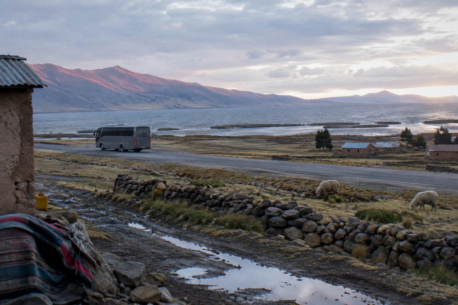
The rainy season compounds this. Rain in the highlands runs broadly from September to April, with Puno concentrating 89 percent of its annual rain in those months, and wet season brings landslides and surface damage to mountain roads. The FCDO's El Nino notice adds that "Through late 2026 to April 2027, the El Nino weather event is expected to generate heavy rainfall, possible flooding, landslides, and mudslides", with road closures possible, chiefly on the northern and central coast. The full disruption picture, including what INDECOPI says about rebooking when a carrier fails to run, is in the guide to Peru bus delays, strikes and rainy season.
Government advice on the high roads is consistent across sources and worth quoting rather than paraphrasing. The FCDO's safety page states: "Bus crashes are common, especially at night. Only use reputable transport companies, and where possible, avoid overnight travel, especially in mountainous and remote regions." Canada's advisory goes further on scheduling: "Avoid taking buses and coaches at night", while also noting for context that "Intercity bus travel can be dangerous due to the risk of bus accidents". Those are the sources' words, offered so you can weigh night sleeper legs like Arequipa to Puno with the sequencing trade-offs above in view.
Planning around this is unglamorous: build a slack day into any week that includes a Puno or La Raya crossing, keep the carrier's contact in your phone, and treat a same-day connection after a high crossing as a bonus rather than a plan. The US Embassy's republication of the State Department advisory notes that demonstrations "can shut down local roads, trains, and major highways" and that this "often happens without warning", which describes the operational risk on these corridors precisely.
Before any high route settles into a final plan, the corridor's three key legs are worth one last side-by-side look:
Common Questions About Altitude On Peru Buses
Which Peru Bus Route Goes Highest?
The Puno to Cusco road crosses Abra La Raya at about 4,300 m, and the Arequipa to Puno road crosses Crucero Alto at about 4,250 m. The Arequipa to Chivay road climbs Chucura at about 4,700 m, and the Lima to La Oroya road crosses Anticona above 4,700 m. The highest destination city reached by scheduled bus is Puno at 3,848 m.
Is Puno Higher Than Cusco?
Yes. Puno sits at 3,848 m and Cusco at about 3,400 m, a difference of roughly 450 m, with Lake Titicaca's surface at 3,812 m. That gap is why routes that reach Cusco first and Puno second are easier on the body than the reverse.
Should I Go To Lima Or Arequipa First Before Cusco And Puno?
The numbers support Lima, at 162 m, then Arequipa, at 2,429 m, then Cusco, at about 3,400 m, then Puno, at 3,848 m. In that order no single leg raises you by much more than about a thousand metres, and the Arequipa to Puno sleeper starts from an altitude your body has had a night or two to adjust to.
Can I Take A Bus Straight From Lima To Puno?
There is no single practical direct leg that avoids the climb, and any routing crosses the same high ground; the question is only where you sleep. Splitting the journey with a stop in Arequipa spreads the climb across two days instead of one, which the altitude table above is the whole argument for.
Does The Overnight Bus To Puno Make Altitude Worse?
Government advice addresses night buses on safety grounds, not altitude: the FCDO states "Bus crashes are common, especially at night" and Canada advises "Avoid taking buses and coaches at night". On the altitude side, the Turismo Mer Arequipa to Puno sleeper lists 160 degree recline seats, and this page makes no medical claim either way. Ask a travel clinic if sleeping at altitude concerns you.
Do Peru Buses Carry Oxygen For Passengers?
No onboard oxygen provision appears in the operator pages or product listings used here, so nothing can be stated either way. Tell the crew if you feel unwell during a climb; crews on the long legs are there partly for that, and the road itself descends after every pass. For anything medical, speak to a doctor before travel.
The habit that ties all of this together is simple: read the altitudes first, order the route second, and buy the tickets third. Peru By Bus exists to keep those three steps honest, with INEI's height figures, the operators' own seat and luggage claims, and nothing invented to fill a gap. Ask a doctor or travel clinic about the medical side, carry layers for the passes, and let the staircase from Lima to Puno do its slow work.