
Arequipa To Colca Canyon By Bus: Chivay, Cabanaconde And Return Options
Colca Canyon is one of the busiest side trips from Arequipa, and the road there is a mountain route that climbs past 4,700 m before dropping into the valley. This guide covers the bus logistics: the free-flow drive figures, the terminals, the altitude jump, and how the canyon fits into a longer southern Peru bus itinerary.
Short answer
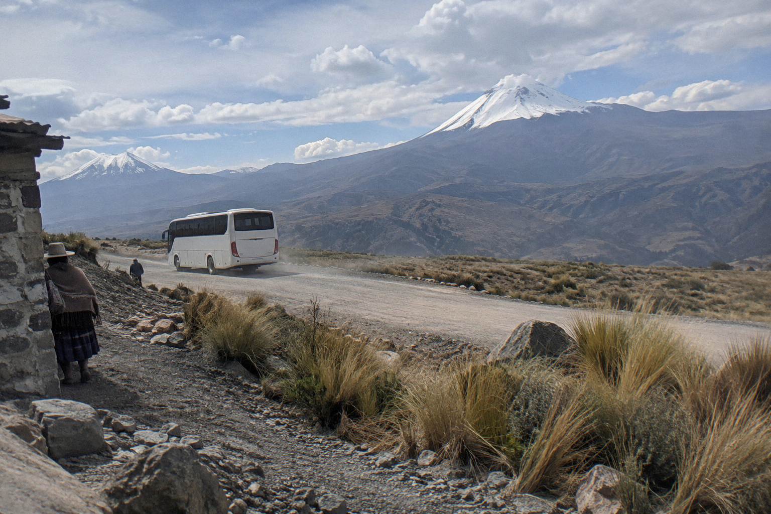
There is no single verified fare or timetable to print for the Arequipa to Chivay leg. The OSRM free-flow drive estimate is about 151 km and about 3.3 hours, and real bus journeys take longer because the road crosses the Chucura pass at about 4,700 m. Most visitors reach the canyon either on a booked tour or on local public transport from Arequipa.
Colca Canyon sits about 151 km from Arequipa by road, and the journey there is one of the most dramatic climbs on Peru's southern bus network. The city sits at 2,429 m (INEI), the road crosses the Chucura pass at about 4,700 m (INEI Arequipa), and the valley town of Chivay waits at 3,632 m (INEI). That is a swing of well over a thousand metres twice in a single leg, and it shapes everything about how the trip works: the speed of the buses, the altitude advice, and whether travellers book a tour or go independently.
This guide from Peru By Bus covers the bus logistics only: the road, the terminals, the ticket and seat decisions, and the onward connections to Puno and Cusco. For whether the canyon itself rewards the detour, the planning question of what the canyon offers against other southern stops is a separate decision this page does not try to make for you. What it does do is lay out the verified numbers, the regulation that governs the road, and the realistic options for getting there and away.
How Do You Get From Arequipa To Colca Canyon By Bus?
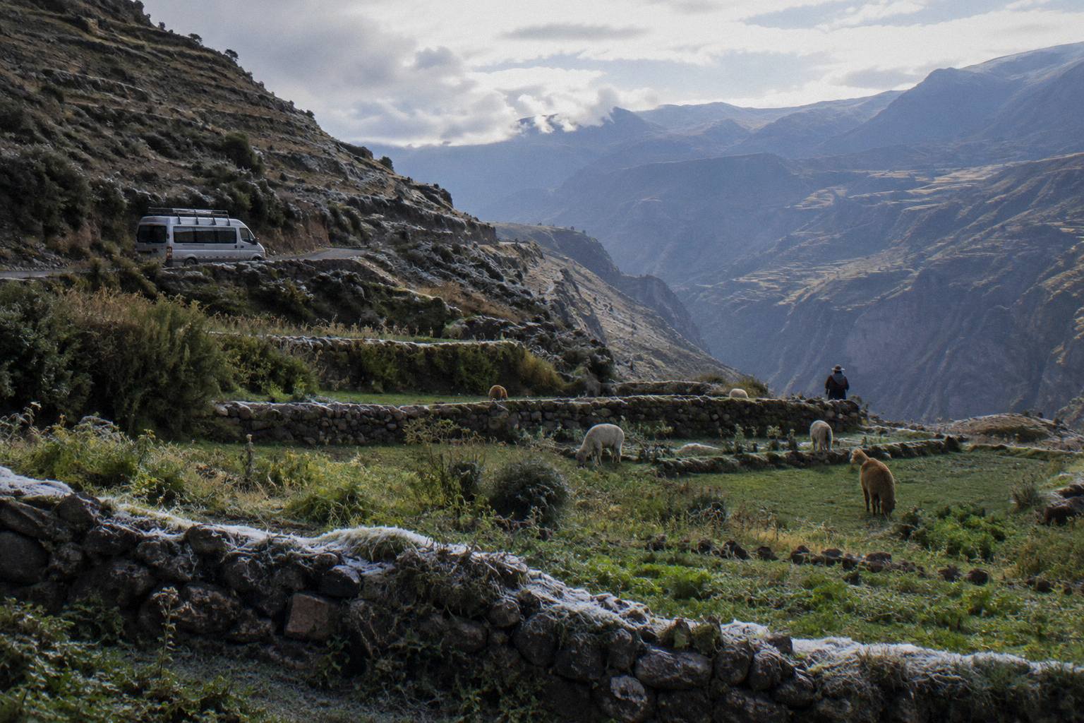
Every route to the canyon runs through the same highland road: Arequipa climbs out of its valley, crosses the Chucura pass at about 4,700 m (INEI Arequipa), and descends toward Chivay, the transport hub for the canyon at 3,632 m. The OSRM free-flow drive estimate for the Arequipa to Chivay pair is about 151 km and about 3.3 hours, and that figure excludes real-world mountain-road slowdowns.
Two facts anchor the logistics. First, Chivay is the road head that the verified free-flow figure covers; the figure applies to the Arequipa to Chivay pair and must never be stretched to Cabanaconde, the village deeper in the canyon, for which no verified distance figure exists on record here. Second, no verified bus fare, operator name or timetable for the Arequipa to Chivay leg can be printed, because none was confirmed on an operator or official page. What can be said is structural: local transport to the valley runs from Arequipa, and booked tours cover the same road with a guide and stops built in.
The choice between a public bus and a tour is the real decision, and it depends on the plateau stop. The pass and the drop into the valley are the parts travellers remember, and a tour vehicle pauses at the Cruz del Condor viewpoint and the pass in a way a local bus doing its daily run does not. Independent travel works too, but it means arranging the canyon-end transport from Chivay yourself and accepting that the return leg depends on local services rather than a booked seat.
For a fuller picture of how tickets, terminals and classes work across the country, read how Peru bus travel works and the Peru bus tickets booking guide before committing to an itinerary.
Where Does The Colca Bus Leave From In Arequipa?
There is no single canyon terminal in Arequipa: intercity companies use the Terrapuerto on the city's edge, with Cruz del Sur at "Av. Arturo Ibanez S/N, Pab. B, Local 23-27" and Oltursa at Terrapuerto counters 12 to 14 in Pabellon D1-3, while local transport toward the Colca valley runs from separate city stands.
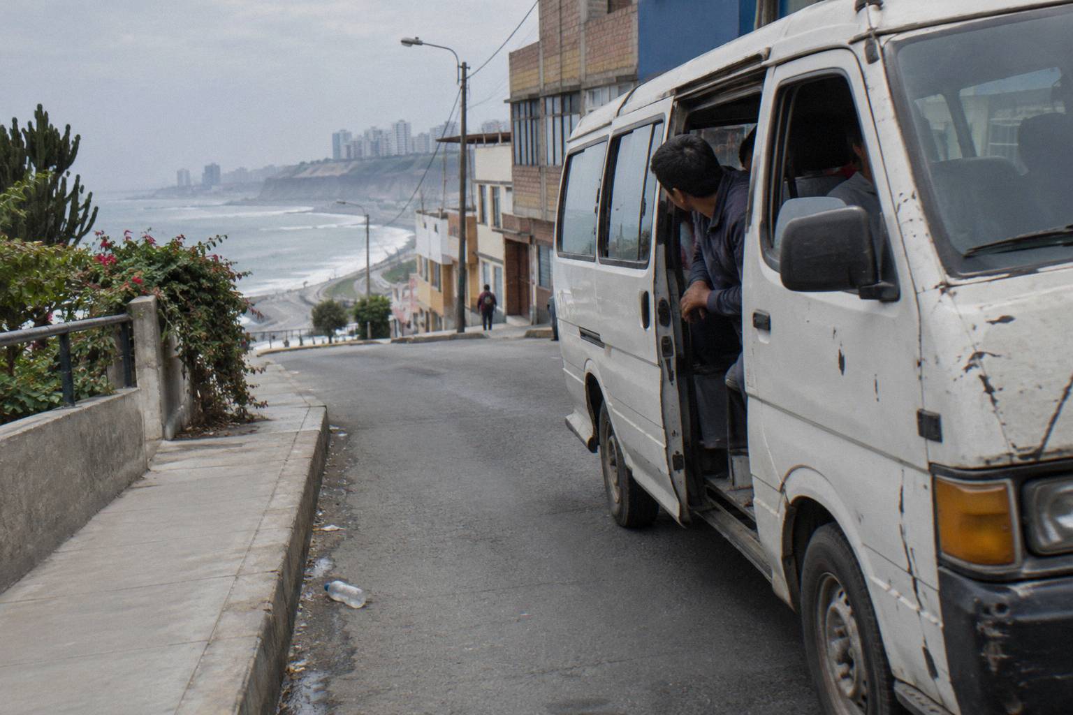
The terminal rule matters more here than in Lima. Peru's transit regulation requires regular carriers to board passengers inside habilitated terminals, never on the public road, and states that boarding and alighting happen inside the terminal area with the bus stopped. That is why a long-distance ticket to or from Arequipa names a specific terminal building, and why a local minibus toward the valley is a different animal with its own stand. If your itinerary continues from the canyon to Puno or Cusco on a big-line bus, the Terrapuerto is where that leg begins.
Practical advice follows from the layout. The FCDO warns "There is a risk of robbery by criminals posing as taxi drivers, especially at Jorge Chavez International Airport and bus terminals" and advises travellers to "use one of the taxis registered at bus terminals". Government of Canada advice adds: "Remain particularly vigilant at bus terminals and in taxis" and "Only use authorized cabs located inside airport terminals and bus stations". Both quotes point the same way at the Terrapuerto: use the registered rank, not a curbside offer.
| Terminal in Arequipa | Company | Address as listed by the operator |
|---|---|---|
| Terrapuerto Arequipa | Cruz del Sur | Av. Arturo Ibanez S/N, Pab. B, Local 23-27 |
| Terrapuerto Arequipa | Oltursa | Terrapuerto, Counter 12-14, Pabellon D1-3 |
| Terrapuerto Arequipa | Civa (booking-page listing) | Av. Arturo Ibanez S/N Int. R-S and Terminal Terrestre B-14 |
Address pages differ by company, which is why the table carries each operator's own listing rather than a single "main terminal" claim. City terminal logistics in general are covered in the Peru bus terminals by city guide. One more note for the canyon leg itself: whichever stand or terminal your service uses, it is worth checking the SUTRAN service that lets any passenger confirm a bus and driver are properly registered, via the official SUTRAN lookup by plate or driver DNI.
What Is The Road From Arequipa To Chivay Actually Like?
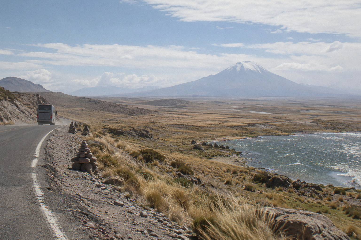
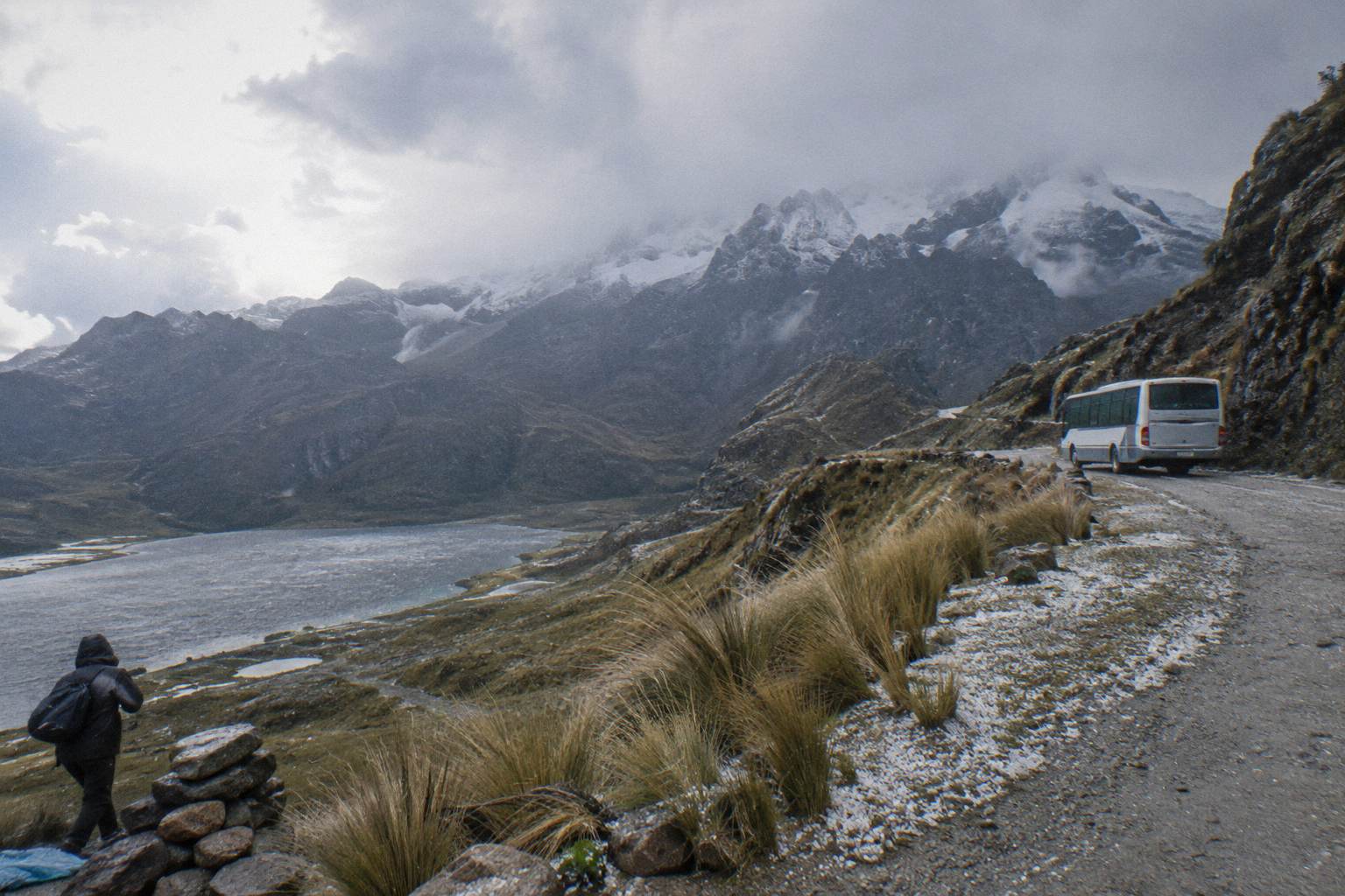
The road is a sustained mountain climb: about 151 km from Arequipa to Chivay with an OSRM free-flow drive estimate of about 3.3 hours, crossing the Chucura pass at about 4,700 m (INEI Arequipa) before dropping into the valley. Free-flow means a car driving the route without traffic, weather or animal-herd holds, and every real bus journey exceeds it.
The climb out of Arequipa passes through open highland plain, the altiplano, where the road runs long and straight between volcanic horizons before the pass. Chucura is the high point at about 4,700 m, attributed to INEI's Arequipa regional statistics, and the descent from the pass to Chivay loses roughly a thousand metres. The canyon villages sit below and beyond Chivay; Cabanaconde, the base for hiking into the canyon itself, is reached by valley transport from Chivay, and no verified drive figure for that continuation exists in the record behind this guide.
Speed on this road is regulated in a way most visitors do not know. SUTRAN states that the 90 km/h ceiling for interprovincial buses applies only on roads that carry no other speed sign, which means the posted limits on the canyon road, not the national ceiling, govern the climb. The SUTRAN notice on the 90 km/h rule is the source for that reading, and it matters on a road with hairpins, herds and viewpoints. Drivers' hours are regulated too: Peru's national transit regulation caps continuous driving at 5 hours by day and 4 at night, requires a second driver beyond those spans, and a third on trips over 20 hours.
Do You Need A Tour Or Can You Take Public Transport To The Canyon?
Both work, and the split is clean: a booked tour handles the road, the stops and the return in one package, while public transport gets you to Chivay cheaply and leaves the canyon-end logistics to you. No verified fare or operator name for the Arequipa to Chivay public leg can be printed here.
The tour format is the dominant choice for visitors on a short Arequipa stay, and the product range runs from a full-day outing to two-day tours and two- and three-day treks sold as extras by pass operators and agencies in the city. A tour vehicle also solves the two problems independent travellers face on this road: the viewpoint stops that a through bus does not make, and the return leg, which on public transport depends on valley services filling up. Against that, a tour commits you to its schedule, and the canyon at Cruz del Condor midday is a crowded place in high season.
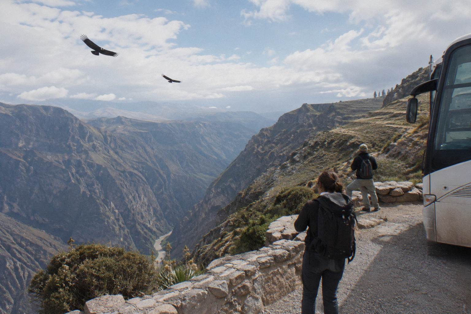
Independent travel suits anyone with more than a day and a willingness to arrange the Chivay to Cabanaconde continuation locally. The trade-offs to weigh, using only what is verified: the free-flow figure covers Arequipa to Chivay alone, no figure exists for the deeper canyon, and luggage on local transport is limited by what fits. On national bus service the regulation guarantees up to 20 kg free plus a fare receipt, but that guarantee belongs to the licensed national network, not to a valley minibus. The broader comparison of booked tours against independent bus travel is laid out in the Peru bus tours versus independent travel guide.
How Does The Altitude Change On The Way To Chivay?
The profile is a double swing: Arequipa at 2,429 m, the Chucura pass at about 4,700 m (INEI Arequipa), and Chivay at 3,632 m (INEI), meaning you sleep two nights higher than Arequipa if you stay in the valley. The pass is the highest point of the trip and it comes early in the drive.
Chivay is the sleeping altitude that matters. At 3,632 m it sits above Cusco's roughly 3,400 m, and travellers who fly into Arequipa and bus straight to the canyon skip the gradual acclimatisation the southern circuit otherwise provides. The planning sequence matters: arriving in Arequipa a day or two before the canyon leg gives the body time at 2,429 m, which is a moderate staging altitude, before the road pushes past 4,700 m. No dosing or medication advice belongs on a bus logistics page; the altitude planning detail, including how the southern circuit sequences the climb, is covered in the Peru bus altitude guide.
| Point on the route | Altitude | Source |
|---|---|---|
| Arequipa | 2,429 m | INEI |
| Chucura pass (road high point) | About 4,700 m | INEI Arequipa |
| Chivay (canyon road head) | 3,632 m | INEI |
The pass figure deserves its "about". INEI editions differ by tens of metres between statistical years, and the convention across this site is to print rounded values rather than exact ones for high passes. The reading that matters for planning is simpler: the road tops out well above both endpoints, and cold conditions at the pass are part of the trip regardless of season in the valley.
What About Continuing Beyond Chivay To Cabanaconde?
Cabanaconde, the village used as a base for hiking into the canyon, sits beyond Chivay on valley transport, and no verified distance, drive time or fare for that continuation can be printed from the record behind this guide. The verified numbers end at Chivay: about 151 km from Arequipa, a free-flow estimate of about 3.3 hours, and the altitudes above.
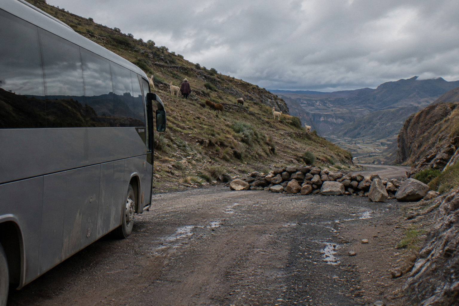
That is not a gap in the guide so much as the honest state of the verified record. Publishing a plausible-sounding distance or duration for the Chivay to Cabanaconde leg would be exactly the kind of unverified figure this site refuses to print. What can be said is structural: Chivay functions as the valley's transport node, the onward ride is short in absolute terms relative to the climb from Arequipa, and hikers base themselves in Cabanaconde to enter the canyon on foot. For the wider question of whether the canyon hike earns two days of an itinerary, that is the detour-worthiness decision, and the bus logistics here stop at the road head.
Practical points for the valley leg follow from the regulation and the advice. Boarding happens at authorised points with the bus stopped, which on valley routes means marked stands rather than road hailing. Luggage on a full minibus is whatever fits, a different regime from the 20 kg national-service allowance. And the return timing matters more than the outbound: valley services thin out later in the day in ways no verified timetable can document here, so confirm the last departure toward Arequipa locally when you arrive.
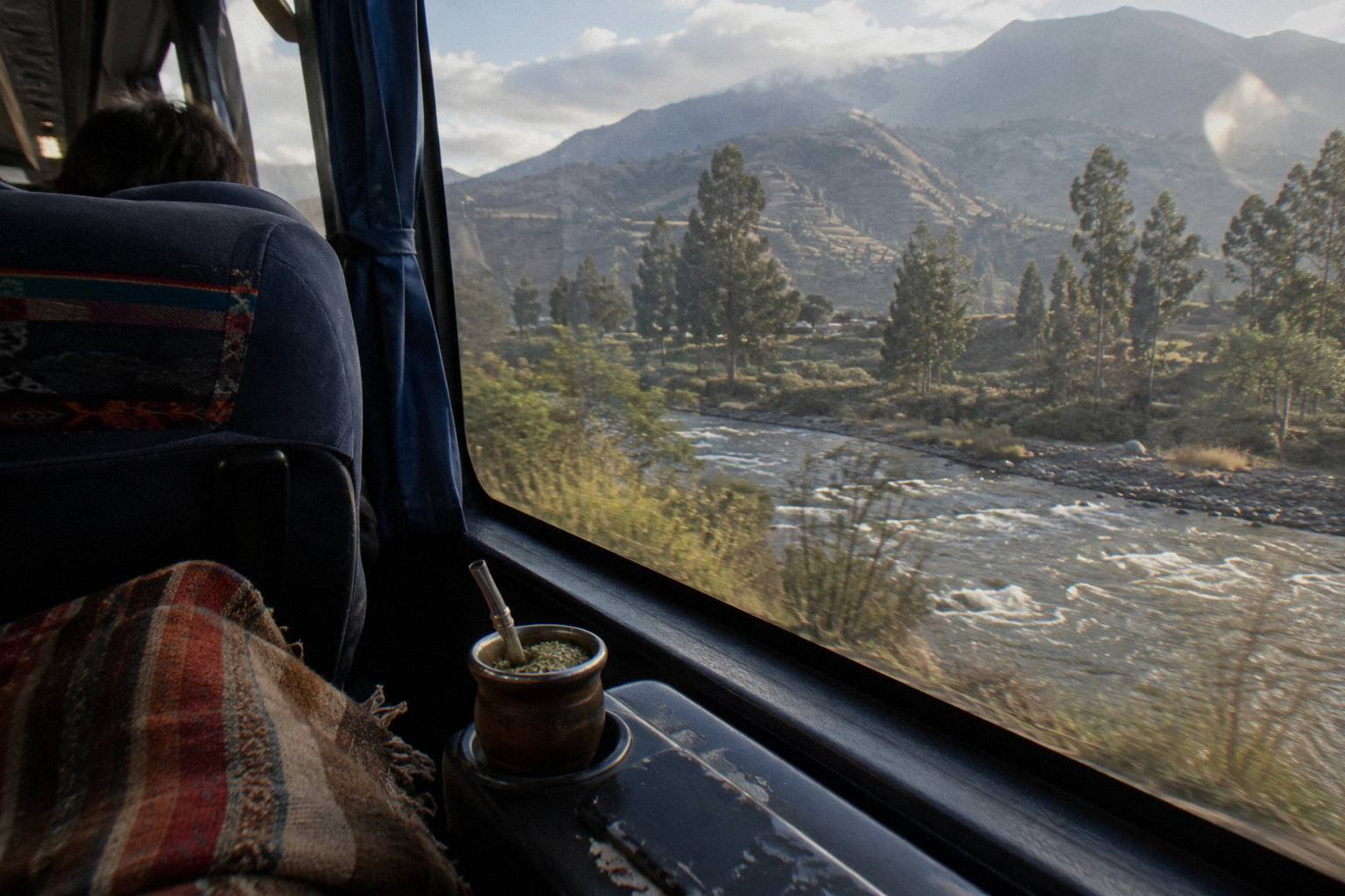
How Do You Return To Arequipa Or Continue To Puno And Cusco?
The canyon loops back to two onward corridors: south to Arequipa's Terrapuerto for connections anywhere on the coast, or east and north toward Puno and Cusco, both served by bookable tourist-bus products. The verified free-flow pairs from Arequipa are Puno at 273 km and about 5.5 hours, and Cusco at 487 km and about 9.4 hours.
The most common continuation is the night leg from Arequipa to Puno, and it exists as a bookable sleeper product: the Turismo Mer sleeper bus from Arequipa to Puno, rated 4.3 across 20 reviews, with a listing that names a 160 degree recline and a night service, a listing duration of 7 hours, free cancellation up to 24 hours before departure as listed, and a boarding fee at the terminal that the listing marks as not included, so check the boarding fee line on the listing before you travel. The Arequipa to Puno sleeper bus is the seat most canyon travellers book for the night after their return, and check availability covers the live dates.
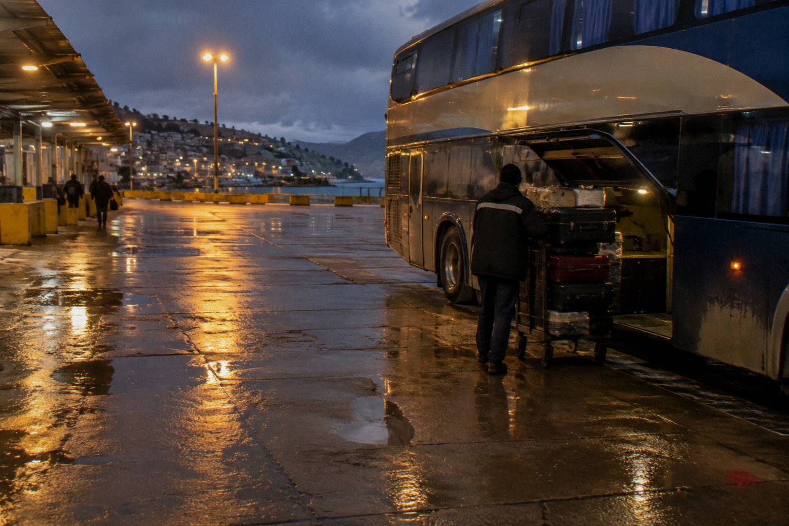
From Puno the circuit continues on another bookable product: the Turismo Mer tourist bus from Puno to Cusco with a lunch stop, rated 4.6 across 24 reviews, listing duration of 11 hours, with the same free-cancellation window as listed. The Puno to Cusco free-flow pair is 387 km and about 6.2 hours, and the listing's longer duration reflects what a real service with stops takes. The Puno to Cusco bus with lunch is the standard link between the lake and the old Inca capital, and it pairs naturally with a canyon-to-lake itinerary.
The reverse direction, or a canyon-first itinerary starting in Cusco, runs on the third product in the set: the World Explorer Peru direct bus from Cusco to Arequipa, rated 3.7 across 16 reviews, listing duration of 10 hours, with a Cruzero Suite 160 degree seat named on the listing. The Cusco to Arequipa free-flow pair is 487 km and about 9.4 hours. The Cusco to Arequipa direct bus links the two cities without a change, which matters when the canyon sits in the middle of the trip.
| Southern circuit pair | Free-flow drive estimate | Real journeys |
|---|---|---|
| Arequipa to Chivay (canyon road head) | 151 km, about 3.3 h | Exceed the estimate; mountain road over a 4,700 m pass |
| Arequipa to Puno | 273 km, about 5.5 h | Exceed the estimate; sleeper listing gives 7 hours |
| Puno to Cusco | 387 km, about 6.2 h | Exceed the estimate; tourist-bus listing gives 11 hours with a lunch stop |
| Cusco to Arequipa | 487 km, about 9.4 h | Exceed the estimate; direct-bus listing gives 10 hours |
Every figure in the table is a free-flow drive estimate for the exact pair named, never a timetable time and never transferable to another pair. The full circuit, including where the canyon fits between Arequipa and the lake, is sequenced in the southern Peru bus circuit guide.
When Do Strikes, Protests Or Rain Affect The Colca Road?
The Colca road is exposed to two disruption patterns: protest roadblocks, which the FCDO describes as unpredictable and able to escalate quickly, with Arequipa named among regions with recent protests, and the Andean rainy season running roughly September to April. The single best pre-trip check is SUTRAN's live alert map, which marks roads closed in red, restricted in yellow and open in green.
The government wording is worth quoting directly. The FCDO states: "Political protests in Peru are unpredictable and can escalate quickly. Demonstrations can become violent and lead to roadblocks, travel disruption, including trains, and suspension of immigration services at land borders." It adds: "Local groups can announce strike action, with little or no notice, particularly in areas connected to mining" and "Do not attempt to pass blockades." The US Embassy's republication of the State Department advisory notes: "Criminal groups sometimes set up roadblocks to rob people in areas outside of Lima" and "Demonstrations can shut down local roads, trains, and major highways. This often happens without warning or clear information on reopening times." The embassy advisory page carries the full text.
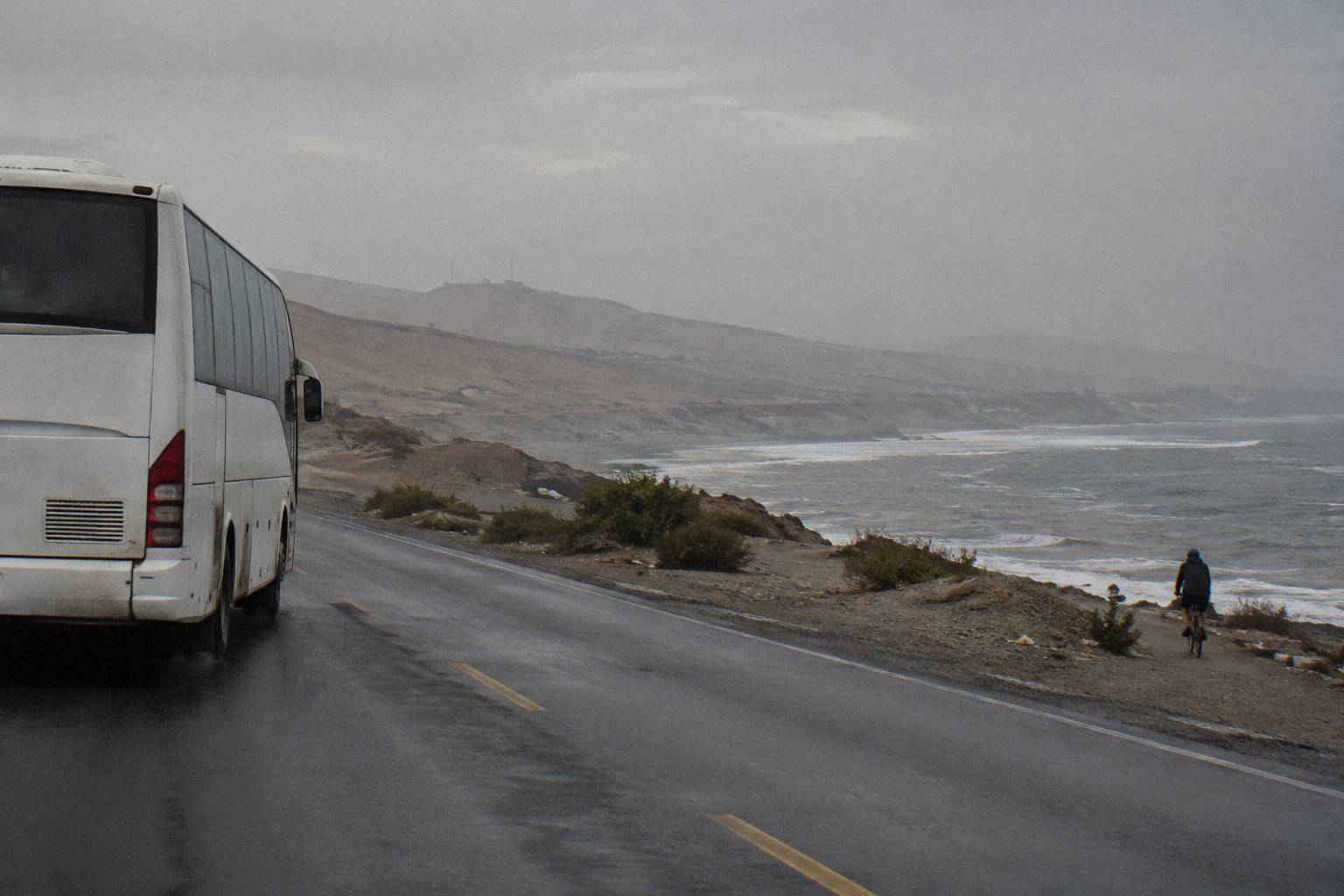
For the Colca road specifically, the practical translation is a two-check routine the day before and the morning of travel: the SUTRAN alert map for the road status, and your carrier or tour operator for their own service decision. No national register of announced strikes exists on official pages; blockades surface as live points on the SUTRAN map, and carriers decide cancellations themselves. The FCDO also carries an El Nino notice concerning heavy rainfall, flooding and landslides on the northern and central coast through April 2027, which is a coast phenomenon rather than an Arequipa corridor warning, but the general rainy-season point stands for the sierra road on its own terms.
If a blockade does catch your bus, the procedure and the advice on what to do, including the explicit instruction not to leave the bus or pass a blockade, are covered in the Peru bus delays, strikes and road blocks guide. The short version, in the FCDO's own words, is "Do not attempt to pass blockades."
Should You Book The Canyon Leg Before You Arrive In Peru?
Book the framework legs early and leave the canyon leg flexible: the tourist-bus seats between Arequipa, Puno and Cusco are dated products with free cancellation up to 24 hours before departure as listed, while the canyon itself can be arranged from Arequipa's agencies on arrival. The exception is peak-season travel, when tour vehicles and the sleeper's best seats sell ahead.
The cancellation terms make early booking low-risk. Each of the three bookable products on this corridor lists free cancellation up to 24 hours before departure for a full refund, so a seat reserved weeks ahead can be released without penalty if the itinerary shifts, and INDECOPI separately confirms that a domestic bus ticket can be postponed or transferred with 24 hours notice at only the real reissue cost. One product on the wider network behaves differently, the First Class Huaraz ticket from Lima to Huaraz, whose listing says non-refundable and unchangeable; that is a Lima-to-the-north item, not part of this circuit, but it shows why reading the terms per product matters.
The canyon tour itself is best booked in Arequipa a day or two ahead rather than months ahead, because the choice between a full-day, two-day and trekking format is easier to make once you know how the altitude is treating you at 2,429 m. What locks the schedule is the onward sleeper: if Puno follows the canyon, that seat is the one to secure first, then work the canyon days backward from it. The FCDO's Peru safety and security page is the standing reference for the night-travel and terminal caution quoted above, and it is worth a read before locking any night leg.
A paragraph on sequencing closes the planning logic. The classic southern loop runs Lima down the coast to Arequipa, out to the canyon, east to Puno, north to Cusco, and home from there; each of the three bookable seats in this guide covers one link of that loop, and the canyon is the only link that needs no advance booking at all. Sequences, stop counts and the day-by-day layouts for loops of different lengths are worked through in the Peru itinerary two weeks by bus guide and the shorter one week Peru itinerary by bus.
Common Questions About The Arequipa To Colca Canyon Bus
How Do You Get From Arequipa To Colca Canyon By Bus?
The road runs from Arequipa across the Chucura pass at about 4,700 m to Chivay, the canyon's road head. The OSRM free-flow drive estimate is about 151 km and about 3.3 hours, and real journeys exceed it. From there, valley transport or a booked tour continues toward the canyon viewpoints and Cabanaconde.
How Long Is The Bus From Arequipa To Chivay?
The verified figure is a free-flow drive estimate of about 3.3 hours for the 151 km pair, which is not a timetable time. Real journeys take longer because the road climbs to the Chucura pass at about 4,700 m before descending to Chivay at 3,632 m.
Do You Need A Tour For Colca Canyon Or Can You Go Independently?
Both work. A tour fixes the road, the viewpoint stops and the return in one package; independent travel uses public transport to Chivay and leaves the valley logistics to arrange locally. No verified fare for the public leg can be printed here, so compare the options on structure.
Where Does The Bus To Colca Leave From In Arequipa?
Intercity services use the Terrapuerto, where Cruz del Sur lists "Av. Arturo Ibanez S/N, Pab. B, Local 23-27" and Oltursa lists counters 12 to 14 in Pabellon D1-3. Local transport toward the Colca valley runs from separate city stands, so confirm your service's departure point before travel day.
Is The Altitude A Problem On The Way To Colca Canyon?
The road swings from 2,429 m in Arequipa to about 4,700 m at the pass and back down to 3,632 m at Chivay, where you sleep higher than Arequipa. Spending a day or two in Arequipa first is the standard acclimatisation approach; no medication advice belongs on a logistics page.
Can You Continue From Colca Canyon To Puno Or Cusco By Bus?
Yes, through Arequipa's Terrapuerto. The Turismo Mer sleeper from Arequipa to Puno lists a 160 degree recline and a 7 hour duration; from Puno, the Turismo Mer tourist bus to Cusco lists 11 hours with a lunch stop; from Cusco, the World Explorer Peru direct bus lists 10 hours. Each carries free cancellation up to 24 hours before departure as listed.