
Cusco To Puerto Maldonado By Bus: The Jungle Road
The Cusco to Puerto Maldonado bus crosses one of the biggest altitude drops of any Peruvian road route, from the Andean highlands down into Amazon basin lowland in a single day of driving.
Short answer
The Cusco to Puerto Maldonado road covers about 669 km, with a free-flow drive estimate of about 12.2 hours that real bus journeys exceed. Cusco sits about 3,400 m above sea level and Puerto Maldonado at 204 m. No single operator page lists a fixed fare or timetable for this guide to print, so buy through a seat search or the operator's own page.
The road from Cusco to Puerto Maldonado is the one long-haul route in southern Peru where the landscape changes faster than the bus can comfortably manage it. Departure is from the high Andes, Cusco at about 3,400 m above sea level, and arrival is in Amazon lowland at Puerto Maldonado, at 204 m per INEI's statistical compendium. Between the two ends the highway climbs over a high pass, drops into cloud forest, and follows river valleys east into jungle that gets flatter, greener and warmer with every hour. This guide sets out what is actually known about the route: the distance and road, the altitude profile, the rules that shape how the journey is driven, the terminal situation at both ends, and how to buy a seat.
How Far Is Cusco From Puerto Maldonado By Road?
The road distance between Cusco and Puerto Maldonado is about 669 km, and the OSRM free-flow drive estimate for that pair is about 12.2 hours, a figure that assumes no stops, no traffic and no weather delays, which real bus journeys always exceed. No timetable time is printed here because no operator page fetched for this guide lists one. Treat 12.2 hours as the floor the road sets, not a promise.
The free-flow estimate is worth understanding before anything else on this page. OSRM is a routing engine that calculates driving time from road geometry and speed limits, with an empty road and a car in mind. A loaded interprovincial bus held to national speed rules, stopping at terminals, rest points and checkpoints, will take longer, and on a route with a high pass and long descents it can take a great deal longer. The figure's real use is comparison: it tells you this is one of the longest single legs in the southern network, longer than Cusco to Arequipa, which the same method puts at 487 km and 9.4 hours free-flow, and comparable in scale to Lima to Huaraz plus the whole Trujillo to Chiclayo hop combined.
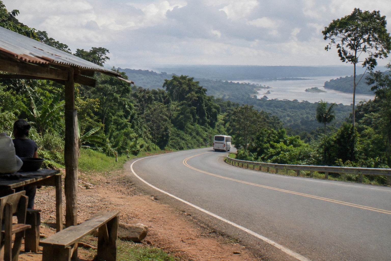
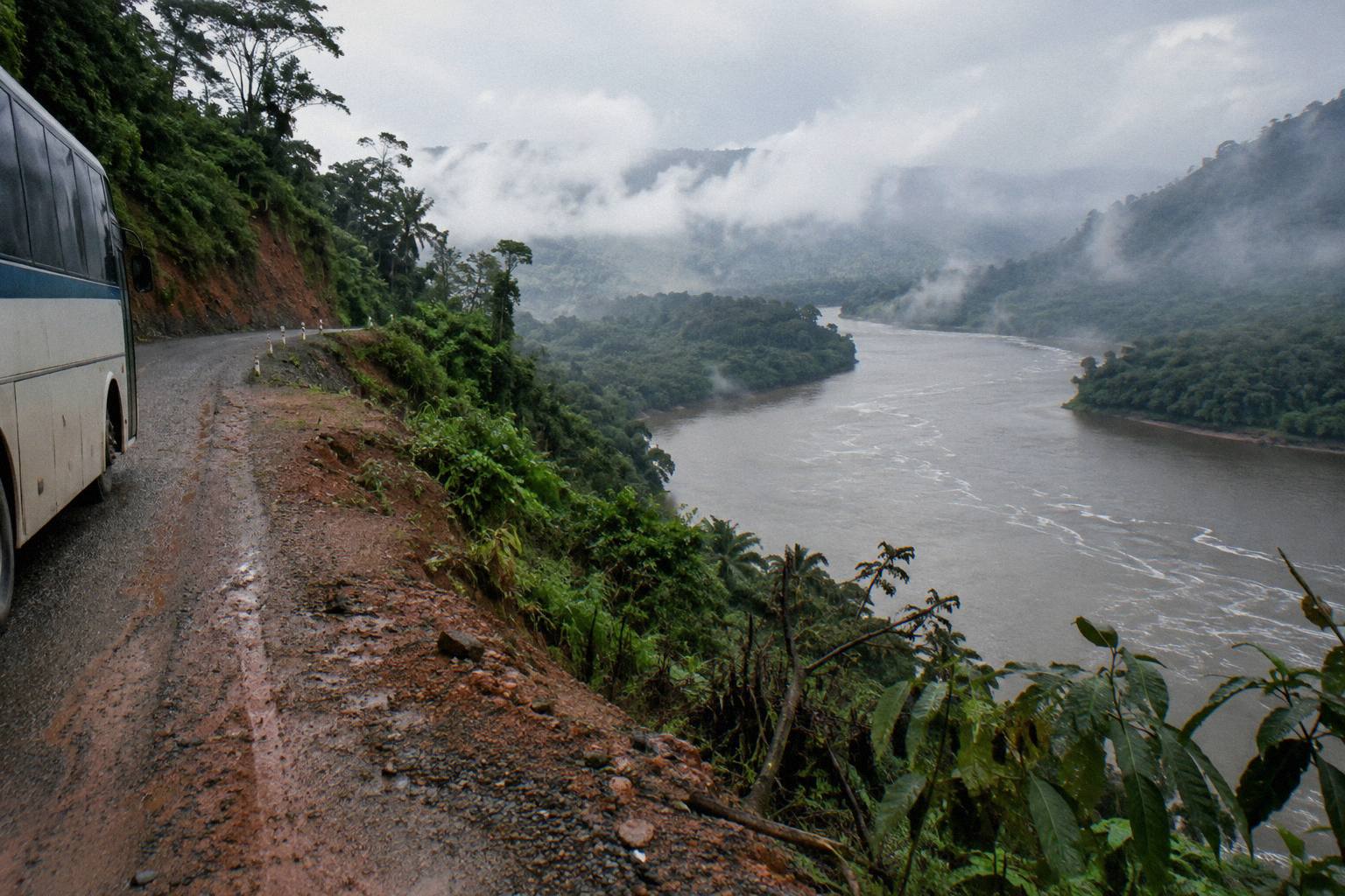
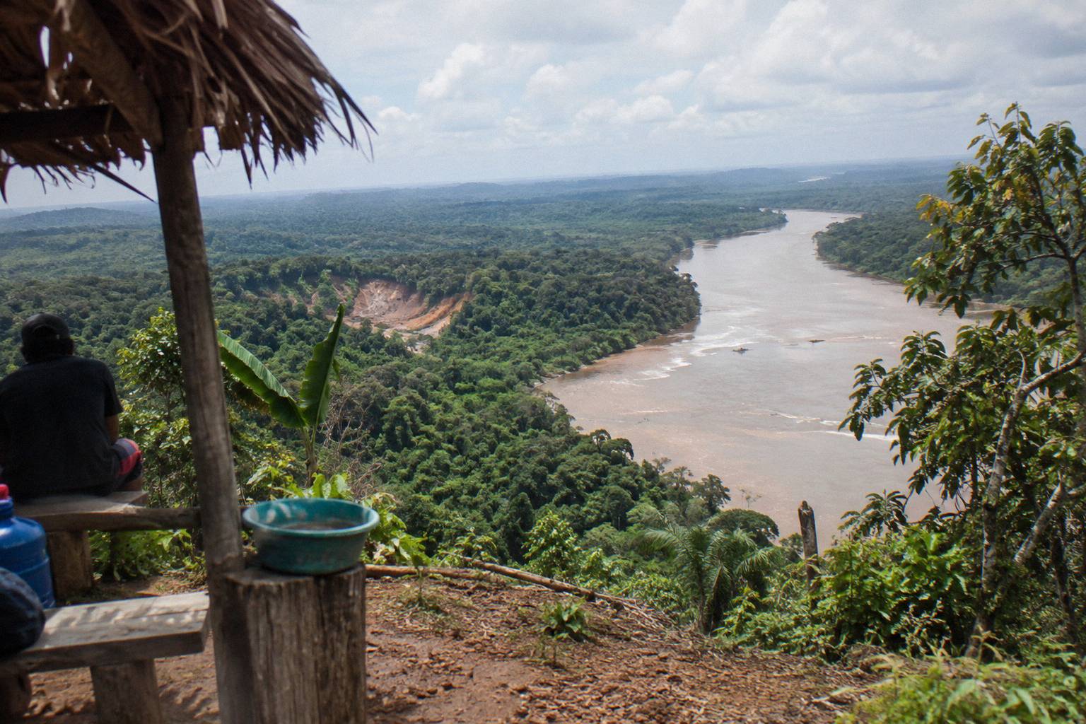
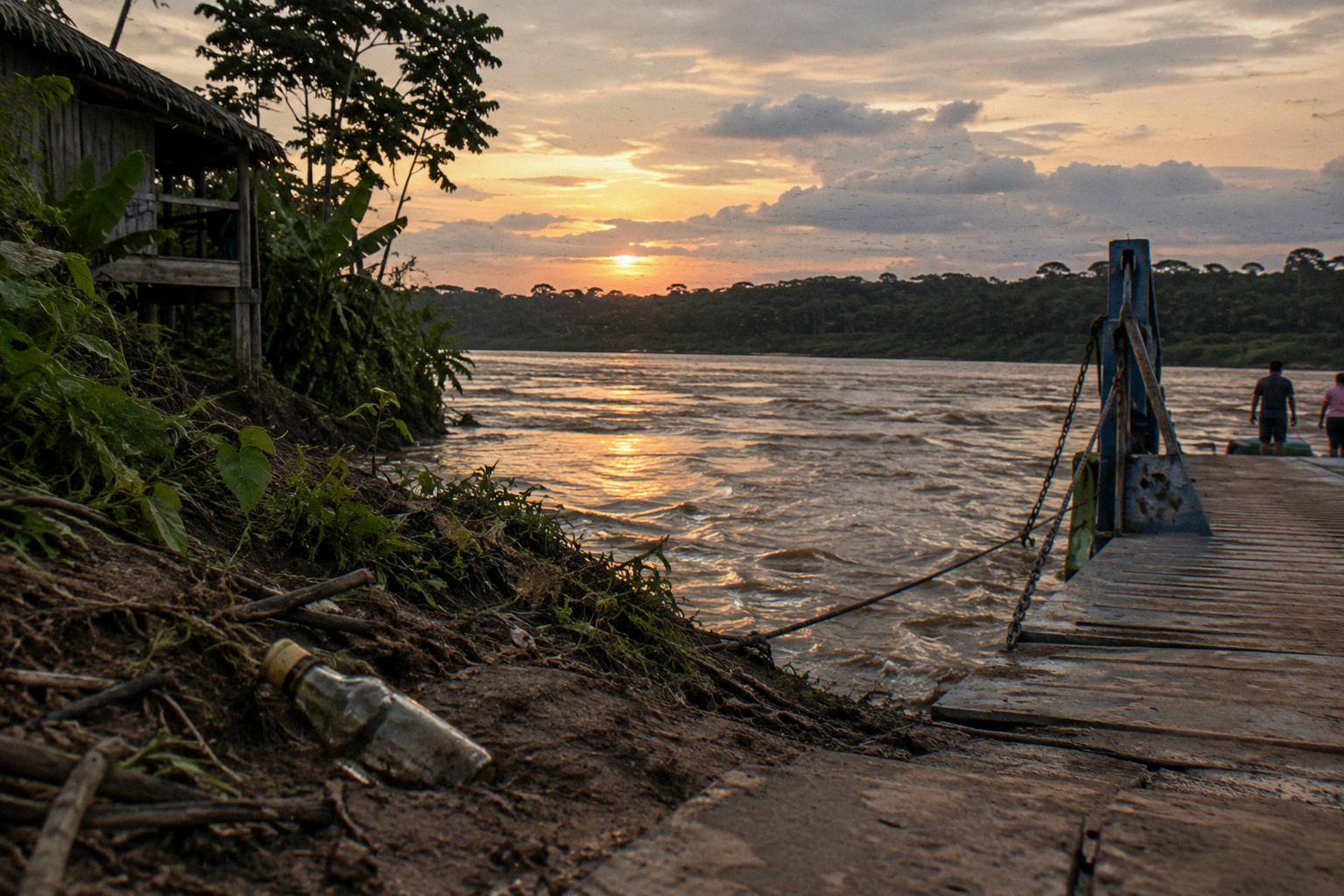
The route runs east and then north-east out of Cusco. After leaving the Cusco basin it crosses the eastern cordillera, and the road then descends long switchbacks into the cloud-forest belt towns of the Amazonas-Cusco borderlands, following river valleys that widen as the highway drops. The vegetation change is the signal that you have crossed from the sierra into selva alta, the high jungle, and by the time the road reaches the lowland plain around Puerto Maldonado the landscape is flat tropical forest crossed by wide, slow rivers. The final approach to the city runs through agricultural colonisation zones on the outskirts of Madre de Dios region.
| Route fact | Figure | Basis |
|---|---|---|
| Road distance Cusco to Puerto Maldonado | About 669 km | OSRM free-flow routing |
| Free-flow drive estimate | About 12.2 h | OSRM, no stops or delays |
| Cusco altitude | About 3,400 m | INEI |
| Puerto Maldonado altitude | 204 m | INEI |
Which Buses Run The Cusco To Puerto Maldonado Route?
Several Peruvian interprovincial companies serve Cusco to Puerto Maldonado with direct and connecting services, but this guide names no operator for this specific route because no operator page verified for it lists a route table, fare or terminal address for Puerto Maldonado that can be printed. A seat search for this route, or the operator's own page, is the dependable way to see who is running it on your date and what class of seat is offered.
What can be said with confidence is structural. Peru's national transit regulation requires regular interprovincial carriers to operate from habilitated terminals at origin and destination, and forbids using the public road as a terminal, so a legitimate service on this route departs from a terminal in Cusco and arrives at a terminal or authorised point in Puerto Maldonado, not from a kerbside. Passengers board only at authorised points with the bus stopped. The street address of Puerto Maldonado's terminal is not printed here because no verified address was found; the Cusco side has company terminals and a municipal terminal whose individual addresses vary by company, covered in detail in the Peru bus terminals by city guide.
When buying, the practical questions are seat class, luggage and departure structure. On long jungle legs, carriers from the Cusco market operate mixed fleets, and the recline, toilet and luggage provisions differ by company and class, so confirm what the specific service offers on the operator's page before paying. The listed tourist products this site carries do not include a Cusco to Puerto Maldonado tourist bus, but three booked sightseeing routes out of Cusco and the southern circuit are worth knowing as alternatives if your plans flex, and they are set out below.
For readers whose plans run the other way around the south, the Puno to Cusco tourist bus with a lunch stop, rated 4.6 across 24 reviews, converts the plateau leg into a sightseeing day; Check availability if that direction fits. To buy a seat on the jungle route itself, use a seat search for this route: Check availability.
What Is The Road Like And How Big Is The Altitude Drop?
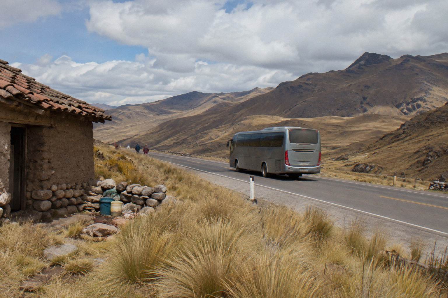
The road leaves Cusco at about 3,400 m, crosses the eastern cordillera at height, and descends continuously to Puerto Maldonado at 204 m, so the drive is defined by sustained climbing and then very long, continuous descent on mountain roads, with cloud forest, rain exposure and river crossings in the middle section. The altitude figures are INEI's; the road character follows from the geometry.
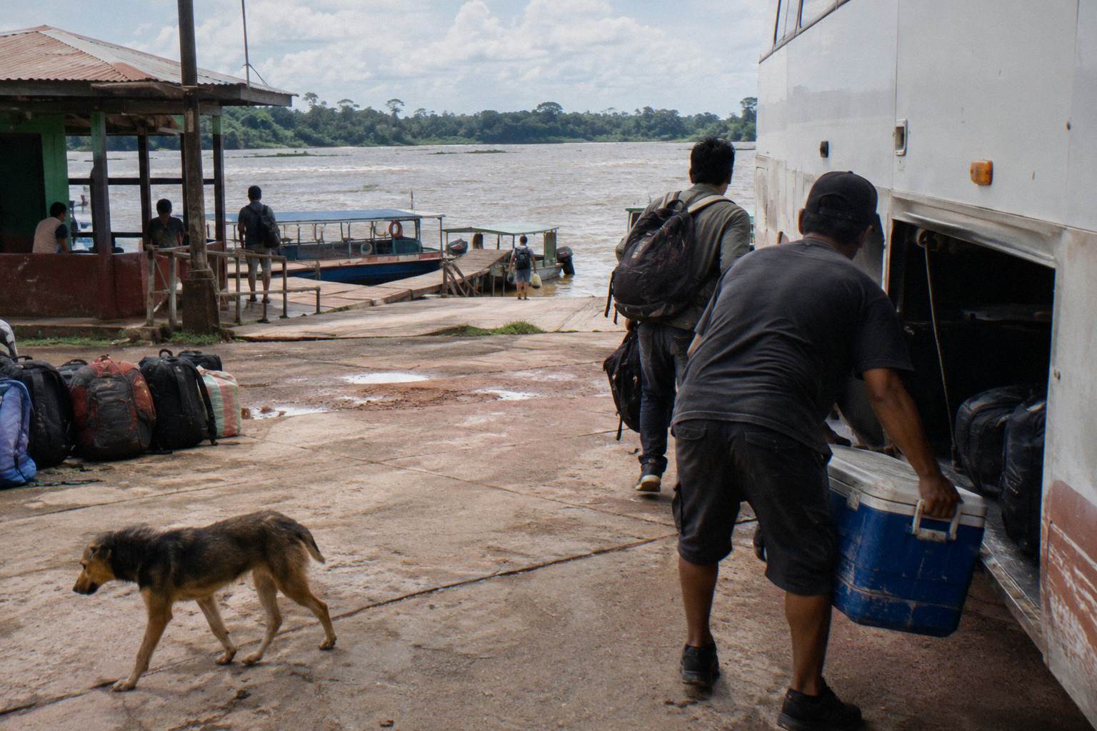
That drop matters for how the day feels. The first hours are high-altitude driving of the kind the southern sierra specialises in: thin air, bare slopes, herding country. The pass crossing brings the first vegetation change, and from the cloud-forest belt downward the road is wetter, narrower in places, and shaded. Passengers who have come straight from sea level to Cusco and are still acclimatising will feel the relief on the way down, though the bus does the work. The physiology of arriving at altitude, which is the reverse problem, is covered separately in the altitude and acclimatisation guide.
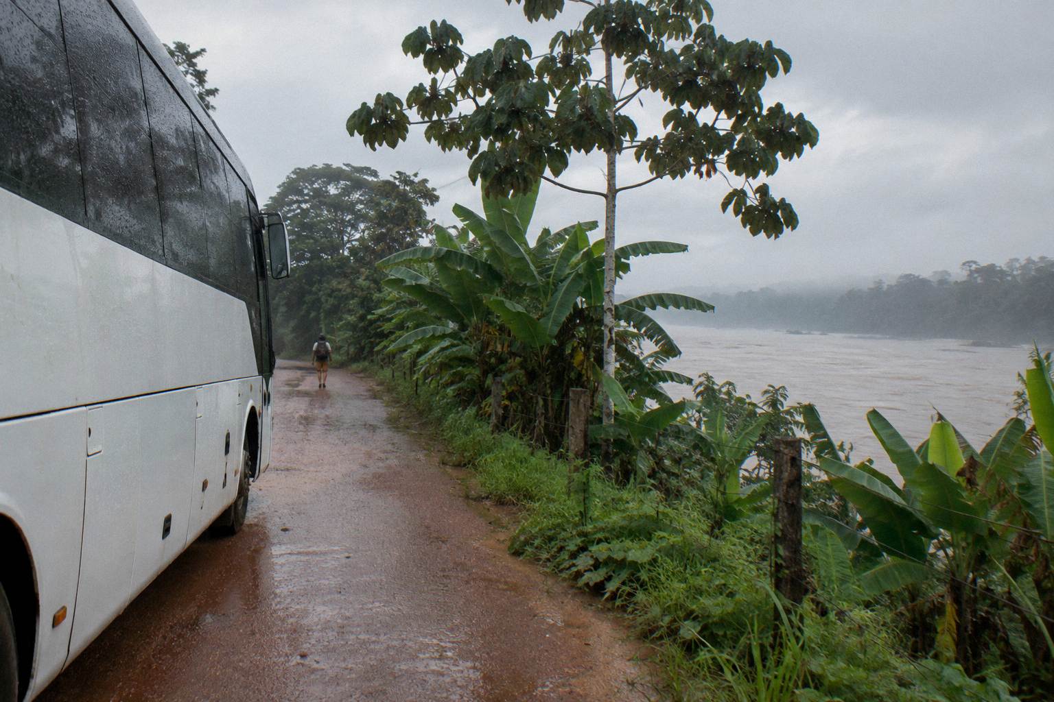
Weather is the road's real variable, and it splits in two. The Andean section sits inside SENAMHI's Andean rainy season pattern, which runs roughly September to April and in most of the Cusco sierra November to March, when rain, reduced visibility and landslides are the named hazards. The lowland jungle section is wet year-round in a tropical regime rather than a single Andean rainy season, so the two halves of the route do not share one climate. The practical reading is that in the Andean wet months the climbing section carries the usual rain-season risks, while the jungle half is simply always subject to rain and its effects on a road that crosses rivers and low drainage lines.
The UK FCDO's Peru advice notes that "Bus crashes are common, especially at night. Only use reputable transport companies, and where possible, avoid overnight travel, especially in mountainous and remote regions" (FCDO safety and security). On a route that is mountainous for its first half and remote for most of its length, that sentence applies with full force, and it is the single most decision-relevant piece of government text on this page.
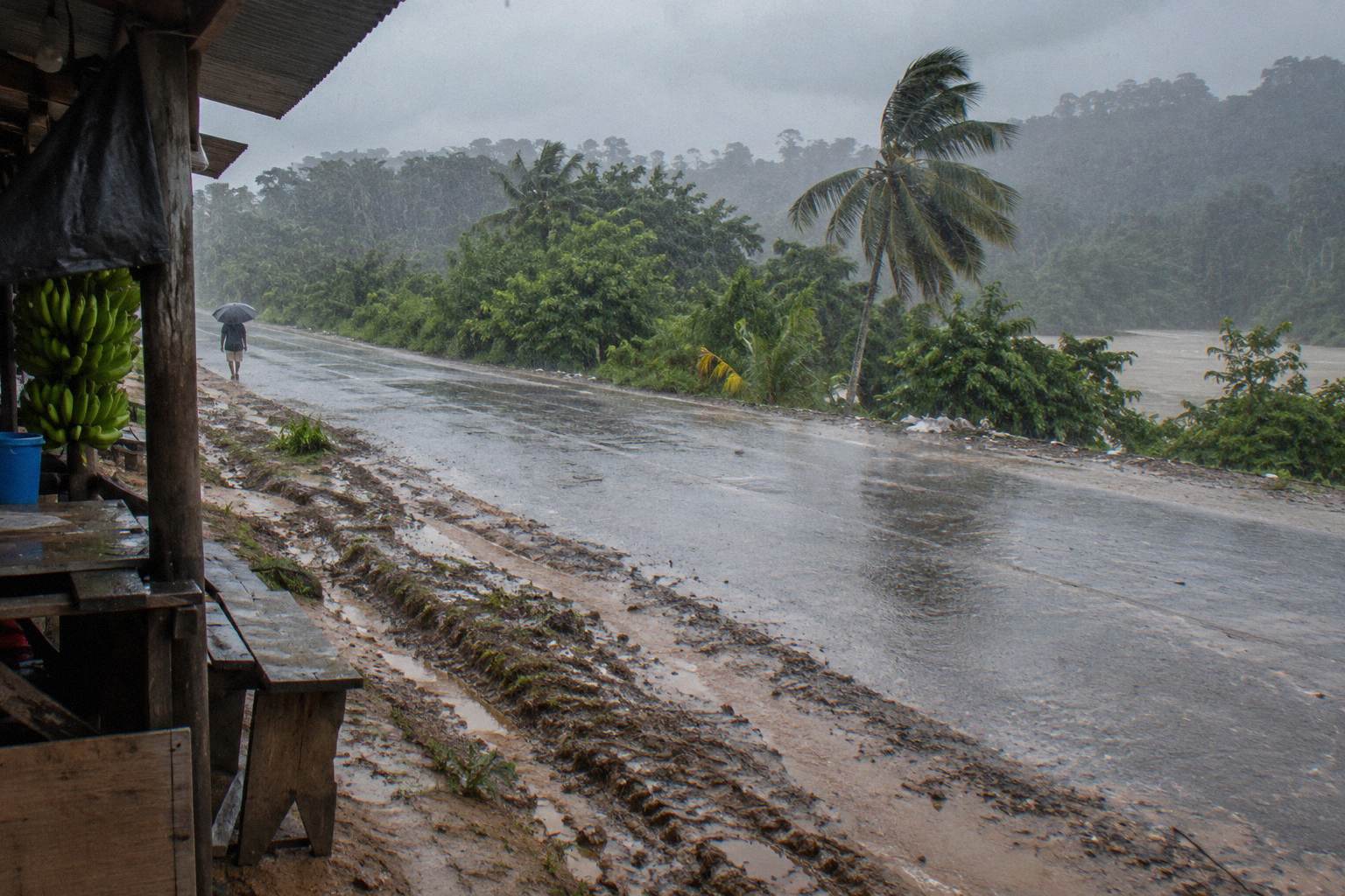
| Section of the route | Character | Altitude range | Main variables |
|---|---|---|---|
| Cusco basin to the pass | High sierra, open slopes | About 3,400 m upward | Andean rainy season, cold |
| Pass to cloud forest | Long switchback descent | High to mid slopes | Wet road, fog, narrow sections |
| Cloud forest to river valleys | Selva alta, shaded road | Mid slopes to lowland | Rain year-round, river crossings |
| Lowland plain to Puerto Maldonado | Flat tropical forest | 204 m at the city | Heat, humidity, slow heavy traffic |
Why Do Night Buses On This Route Follow Special Rules?
Peru's national transit regulation caps continuous driving at 5 hours by day and 4 hours at night, requires a second driver when a trip exceeds those spans, and requires a third driver on trips over 20 hours, which on a leg of this length directly shapes crewing, rest stops and how the service can legally be scheduled. Speed is also regulated, with SUTRAN stating that the 90 km/h interprovincial limit applies only on roads without another speed sign.
Those two rules explain a lot of what passengers notice on long legs. A route whose free-flow floor is already 12.2 hours cannot be driven start to finish by one driver under the regulation, so services carry at least a second driver and build in crew changes or rest breaks. The speed rule, meanwhile, is not a flat 90 everywhere: it yields to whatever the road signs say, and on mountain descents with curve warnings the effective limit is far lower. SUTRAN's own page on the 90 km/h rule states it applies "only on roads that do not have any type of regulatory signage" (SUTRAN notice).
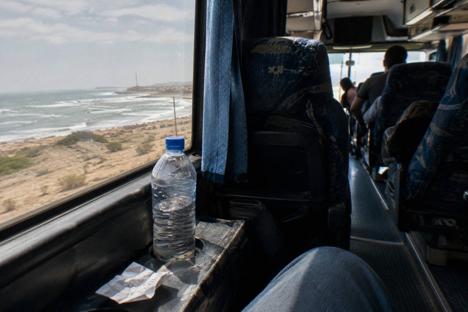
The night dimension is where government advice and the regulation point the same way. The Government of Canada's Peru page advises travellers to "Avoid taking buses and coaches at night" and notes that "Intercity bus travel can be dangerous due to the risk of bus accidents, which are usually caused by excessive speed, poor vehicle maintenance and driver fatigue" (Government of Canada travel advice). A jungle road with long descents, rain exposure and limited lighting is exactly the kind of route those sentences were written for, and the FCDO's overnight warning quoted earlier covers the same ground from the UK side. Nothing on this page tells you which departure to pick, but the regulation and the advisories together give you the framework to judge one.
One more passenger-side rule is worth carrying: INDECOPI states that a domestic bus ticket can be postponed or transferred with at least 24 hours' notice, with only the real cost of reissue chargeable. On a route where weather and road closures can move plans, that right is more than theoretical, and complaints go to the carrier's Libro de Reclamaciones or to INDECOPI's Reclama Virtual portal if the carrier does not resolve them. The rest of the planning pages sit on Peru By Bus.
| Rule | What it says | Who states it |
|---|---|---|
| Continuous driving | Max 5 h by day, 4 h at night | Peru's national transit regulation |
| Second driver | Required when a trip exceeds those spans | Peru's national transit regulation |
| Third driver | Required on trips over 20 h | Peru's national transit regulation |
| Speed | 90 km/h only where no sign sets another limit | SUTRAN |
| Ticket changes | Postpone or transfer with 24 h notice, real reissue cost only | INDECOPI |
| Luggage | Up to 20 kg free on national service | Peru's national transit regulation |
For a shorter, fully sightseeing alternative out of Cusco, the Machu Picchu by Car Vip tourist bus to Hidroelectrica, rated 4.3 across 53 reviews, runs the back-door road with two rest stops and free cancellation up to 24 hours before departure as listed. Its route is covered in full in the Cusco to Machu Picchu by bus via Hidroelectrica guide.
For passengers reading a timetable, the crewing rules carry one simple consequence: a trip this long never matches its free-flow time once rest breaks and driver changes are counted, so treat the fastest listed duration as a floor. Expect the schedule to build in a crew change or rest stops, with night departures pausing more often because the continuous-driving cap after dark runs one hour shorter than the daytime one. Neither delay signals a badly run service; it is the regulation working as written.
The ticket-change right rewards early action. Postponement and transfer only help if you act before the 24-hour mark, and on a corridor where weather and closures can move plans overnight, the practical habit is to confirm road status the day before departure rather than at the terminal. If a carrier does not resolve a problem, the paper trail through the Libro de Reclamaciones and then INDECOPI is what makes the claim stick.
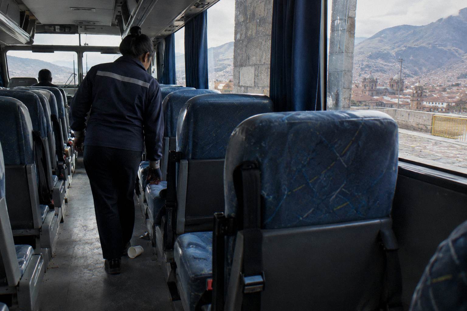
Read the advisories as a filter rather than a ban. The framework does not choose a departure for you, but it is easy to apply: a daytime service with scheduled crew changes meets the regulation's intent and sidesteps the overnight risk both the Canadian and UK warnings flag, while a night departure buys sleeping hours at the exact cost those governments describe. On a road of long descents where curve warnings already push effective speeds far below the interprovincial ceiling, that is a trade to make consciously.
Where Does The Bus Leave From And Arrive?
Buses on this route depart from company terminals or the terminal network in Cusco, since regulation requires regular carriers to use habilitated terminals rather than the public road, and arrive at Puerto Maldonado's terminal, whose street address is not printed here because no verified address was available to this guide. Terminal choice in Cusco varies by operator, so confirm the exact departure point on your ticket and the operator's page.
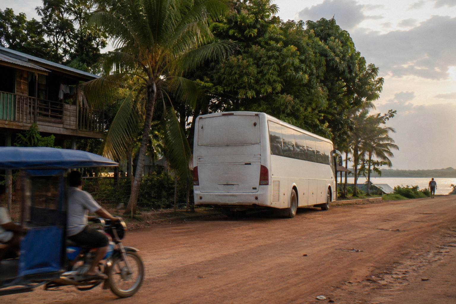
Cusco's terminal geography is company-specific. Cruz del Sur, for instance, lists its Cusco arrival point as Terminal Terrestre Cusco on Av. Vallecito 538, while other operators use their own addresses elsewhere in the city, and it is a mistake to assume one shared "main terminal". The full city-by-city picture, including which companies sit where, is in the terminals by city guide. At the Puerto Maldonado end, no operator address was verified for this page, so the working rule is simple: the ticket names the arrival terminal, and if it does not, ask the operator before travel day.
Two terminal-side practices from government advice are worth repeating here because they are specific to bus stations. The FCDO warns that "There is a risk of robbery by criminals posing as taxi drivers, especially at Jorge Chavez International Airport and bus terminals" and advises travellers to "use one of the taxis registered at bus terminals". Canada's advice mirrors it: "Only use authorized cabs located inside airport terminals and bus stations". After a long jungle arrival, that is the difference between a registered cab rank and an offer in the forecourt.
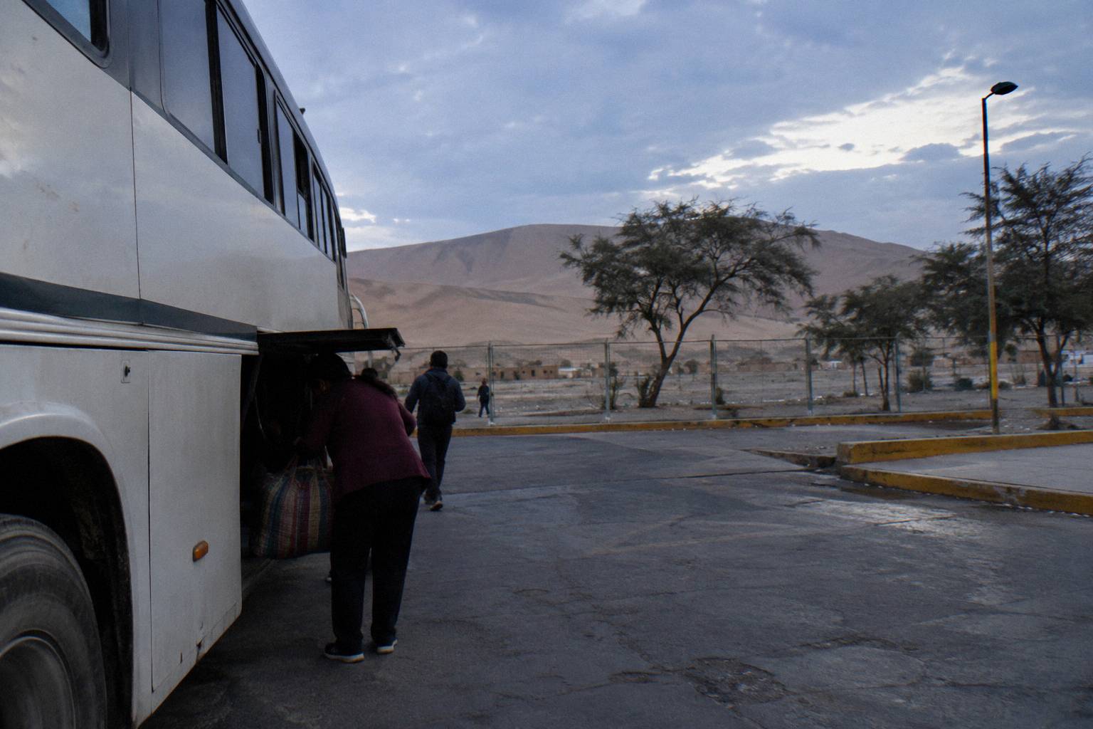
Luggage handling is the other terminal ritual. Up to 20 kg travels free on national service under the regulation, bags ride in the hold rather than the aisle by rule, and SUTRAN advises passengers to take a luggage ticket for anything checked. The fuller version of this, including what the hold rules say about loss and damage, is in the luggage and theft guide.
What Should You Watch For On The Day Of Travel?
The three live risks on this route are road status, blockades and weather, and each has a check you can make the day before: SUTRAN's interactive alert map shows closed roads in red, restricted roads in yellow and open roads in green, government advisories warn that demonstrations can close roads and borders with little notice, and the Andean section of the route sits inside the September-to-April rainy season pattern. Check the map, check the carrier, then travel.
The SUTRAN alert map at alertasviales.sutran.gob.pe is the practical tool. Road closures appear there as live points, and the FCDO's broader warning that "Political protests in Peru are unpredictable and can escalate quickly. Demonstrations can become violent and lead to roadblocks" applies to the regions named in its advice, which include Cusco. The US Embassy's republication of the State Department advisory makes the operational point plainly: "Demonstrations can shut down local roads, trains, and major highways. This often happens without warning or clear information on reopening times." On a one-road route into Madre de Dios, a closure is not an inconvenience, it is the journey.
If a blockade does happen while you are on the road, the FCDO's instruction is direct: "Do not attempt to pass blockades." What to do instead, including how carriers and passengers handle long holds, is covered in the road blocks and strikes guide. The El Nino notice in the FCDO's Peru pages, which expects heavy rainfall, flooding and landslides through late 2026 to April 2027 especially on the northern and central coast, is a coast warning, but its landslide and road-closure mechanism is the same one the Andean section of this route faces in any wet season.
On board, the standard set of habits from the advisories applies: keep your passport with you rather than in hold luggage, stay vigilant at terminals, and use registered taxis at both ends. None of the four government sources used on this page describes intercity bus travel as safe, and neither does this guide; it describes the rules, the checks and the decisions instead.
Are There Better-Fitting Tourist Buses Than The Jungle Route?
If your aim is sightseeing rather than reaching the Amazon, the booked tourist buses that fit a Cusco-centred trip are the Puno to Cusco lunch-stop bus, the direct Cusco to Arequipa bus with its 160 degree seat, and the Cusco to Hidroelectrica back-door bus, each a listed product with its own rating, review count and cancellation terms as listed, and none of them a substitute for the jungle road itself.
The three serve different trips. The direct bus from Cusco to Arequipa with World Explorer Peru, rated 3.7 across 16 reviews, covers the 487 km southern leg, for which the free-flow estimate is 9.4 hours, in a Cruzero Suite seat the listing names as a 160 degree recline, and lists free cancellation up to 24 hours before departure. The Hidroelectrica bus, covered above, is the Machu Picchu back door. The Puno lunch-stop bus, rated 4.6 across 24 reviews, is the plateau leg with the lake behind it. A reader planning the full southern loop can chain these with the jungle road as the final eastern leg, and many do.
Comparing them is a matter of what each one replaces. The tourist products replace a transfer with a sightseeing day and carry listed cancellation terms; the jungle road replaces a flight with a long overland descent that is an experience in its own right, but one that no listed tourist product covers. That asymmetry is the honest summary: there is no booked tourist bus on Cusco to Puerto Maldonado to compare, only the interprovincial services found through a seat search.
One related option belongs here rather than earlier: the sleeper bus from Arequipa to Puno, rated 4.3 across 20 reviews with a 160 degree recline seat as the listing states, fits readers building the Arequipa-Puno-Cusco arc before heading east. Peru Hop, the hop-on hop-off network, does not serve Puerto Maldonado, so it is not part of this route's options.
Common Questions About The Cusco To Puerto Maldonado Bus
How Far Is Cusco From Puerto Maldonado By Bus?
About 669 km by road, with an OSRM free-flow drive estimate of about 12.2 hours. That figure assumes no stops, traffic or weather delays, and real bus journeys on the route exceed it.
How Much Altitude Does The Route Drop?
Cusco sits about 3,400 m above sea level and Puerto Maldonado at 204 m, both per INEI, so the road descends almost the whole of that difference, most of it on mountain switchbacks and river-valley descents after the eastern pass.
Can I Check The Road Status Before Travelling?
Yes. SUTRAN's interactive alert map shows closed roads in red, restricted roads in yellow and open roads in green, and a 24 hour WhatsApp line exists for alerts. Checking it, and the carrier, the day before travel is the recommended routine.
Is The Night Bus On This Route Allowed?
Night services are legal, but the regulation is stricter at night: continuous driving is capped at 4 hours rather than 5, and government advisories from the UK, Canada and Australia specifically advise avoiding overnight bus travel where possible, especially in mountainous and remote regions.
Where Does The Bus Arrive In Puerto Maldonado?
Regular carriers must use habilitated terminals, so services arrive at the city's terminal rather than a street stop. No verified street address is printed here; your ticket and the operator's page name the arrival point.
Can I Change Or Cancel A Domestic Bus Ticket?
INDECOPI states a domestic bus ticket can be postponed or transferred with at least 24 hours' notice, with only the real reissue cost chargeable. The booked tourist buses named on this page each list free cancellation up to 24 hours before departure, as stated on their listings.